
A UK-wide community for trail and ultra runners. Find people to run with, discover brilliant routes and get out for more days in wild places.
01 / DIY Ultra
Malham Tarn Returns
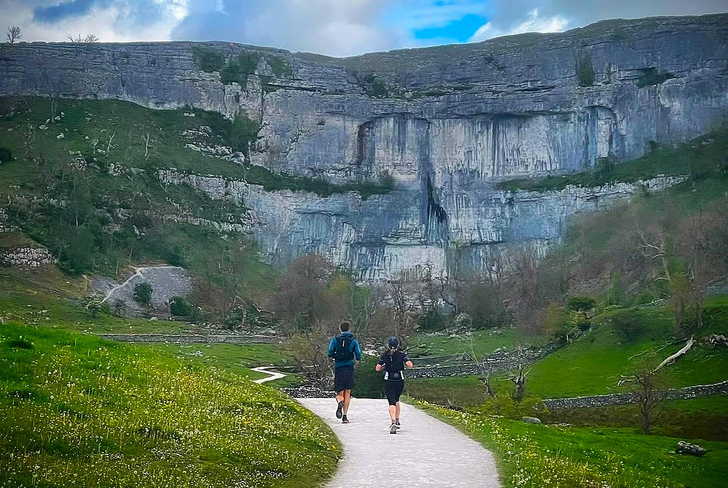
Four loops from Malham Tarn. Run one, run a few, or keep heading back out until you’ve put together the full 50.
View challenge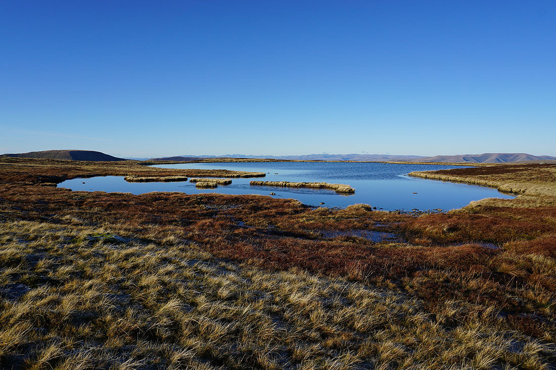
02 / 4 Hours 13 Minutes
Dentdale Dash
Take the train out into Dentdale, then turn for home on foot. Get back to Settle before the train does.
View challenge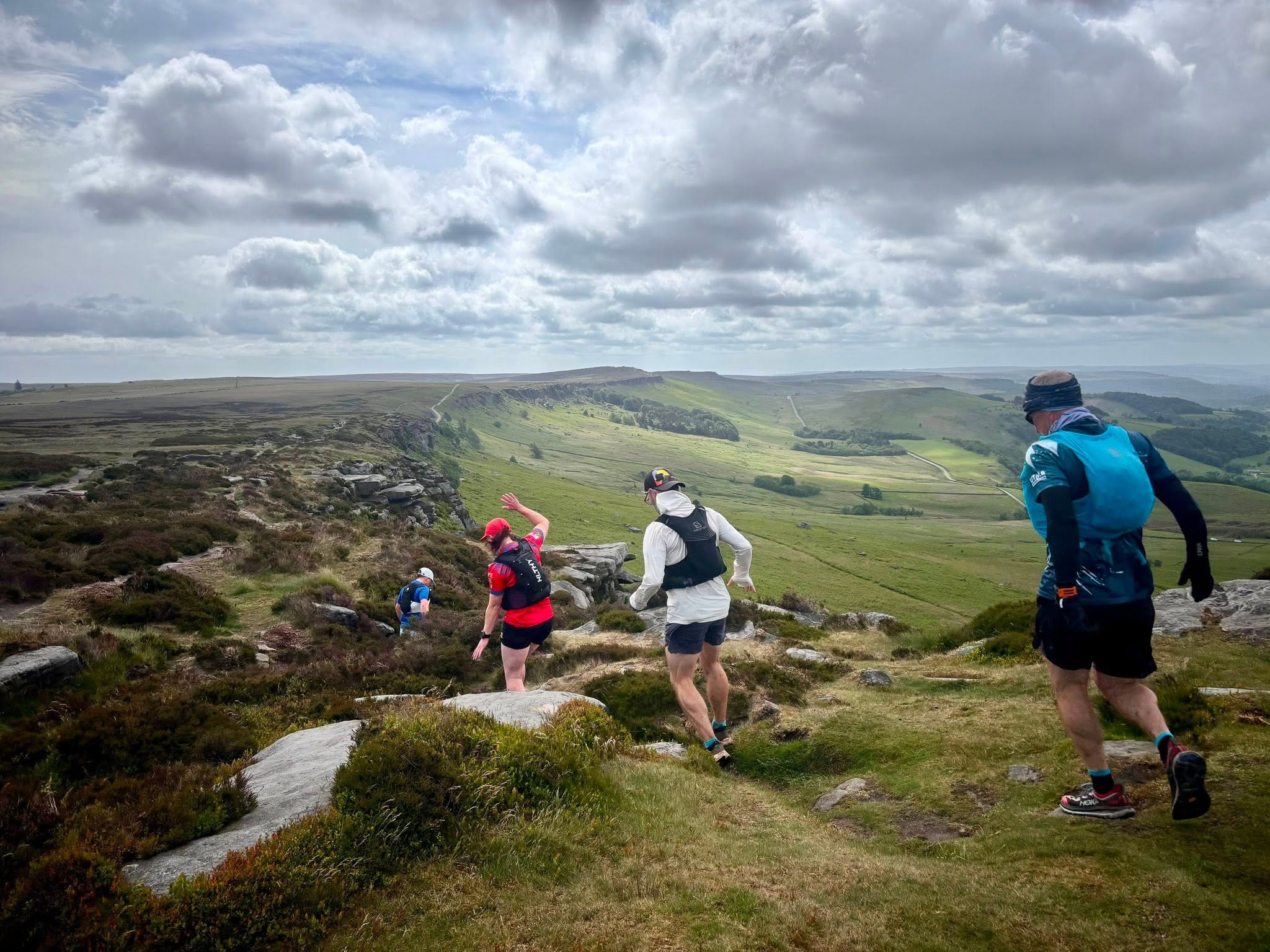
For the miles
between races.
You meet someone halfway through an ultra, spend hours putting the world to rights and say, “We should go for a run sometime.” Then race weekend ends and everyone heads home.
UTC is for everything in between. A UK-wide community of trail, fell and ultra runners sharing plans, finding company and getting out for more days in wild places.
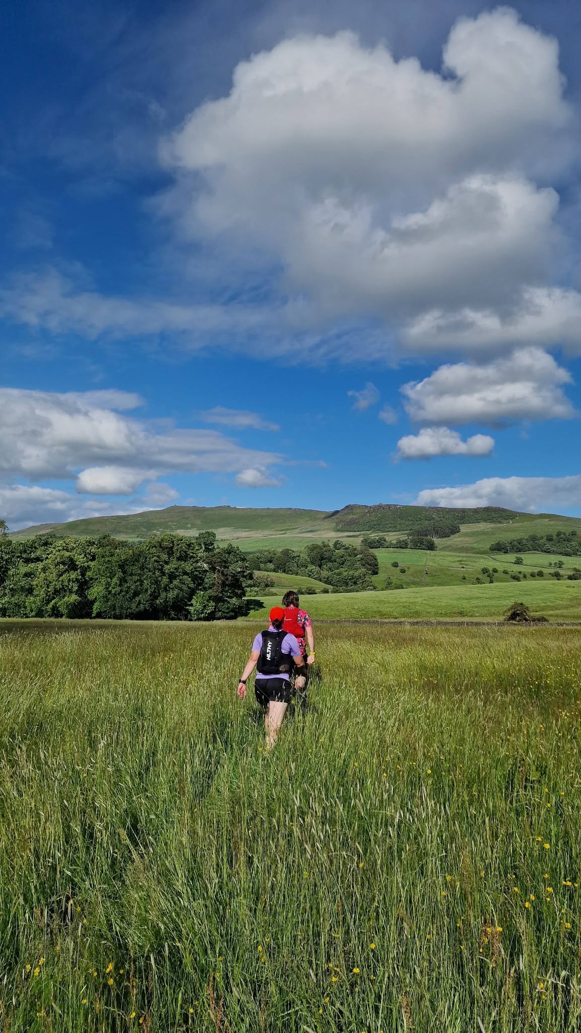
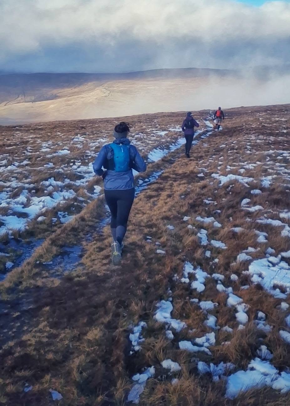
It starts with a simple question.
Heading out on Saturday? Put the idea in the group. Seen someone planning a route you’ve always fancied? Ask if you can come along. It can be a couple of hours on the local trails or a whole day crossing the fells.
That’s it. No need for a grand expedition or a complicated plan. Just runners getting together to do more of what they love.
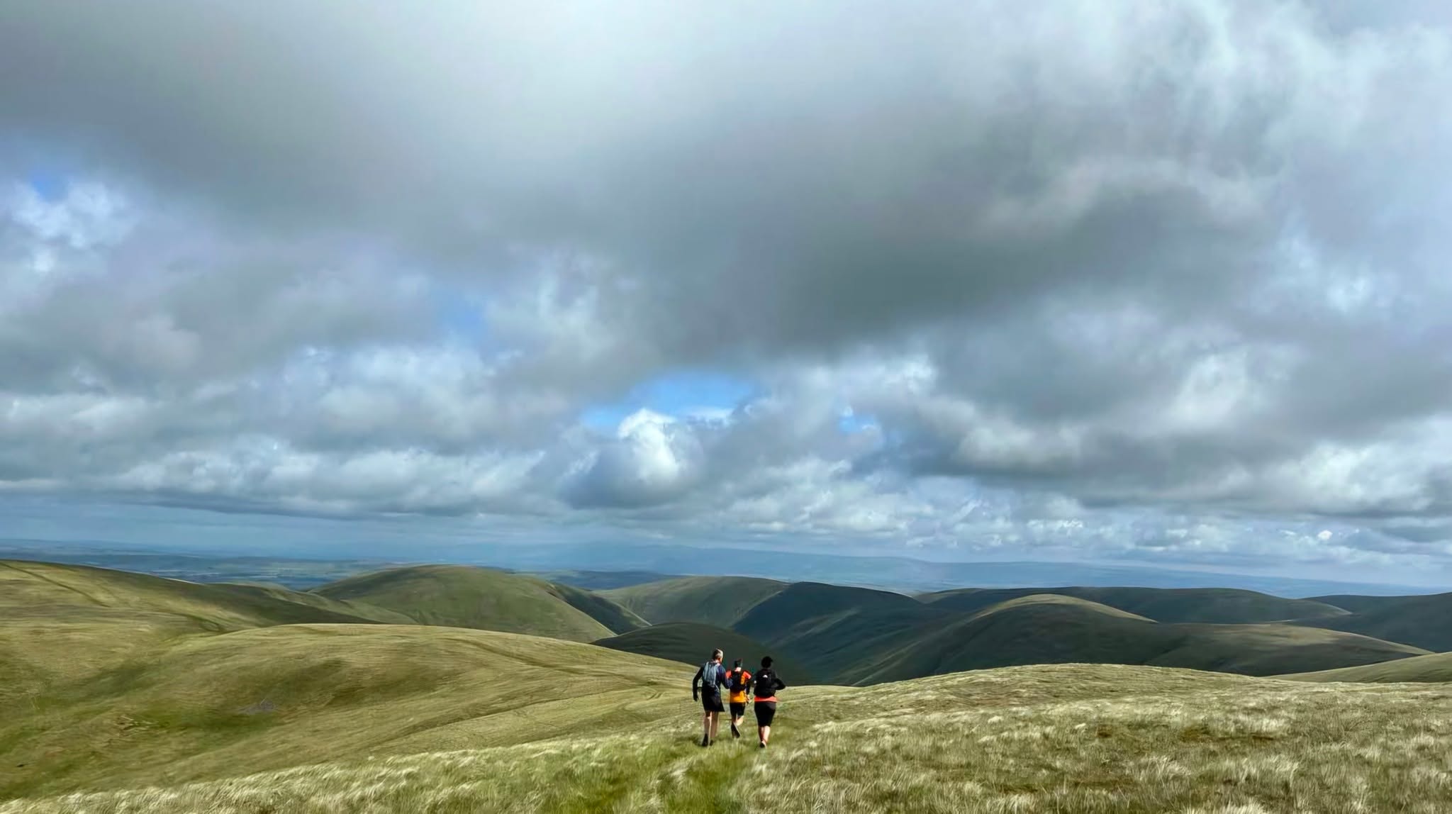
Not another club to fit your life around.
Keep your local club. Keep your solo miles. UTC sits alongside them, connecting people who fancy the same kind of adventures. No weekly sessions to commit to and no club hierarchy.
Race recces, social ultras, big fell days, classic routes, fastpacking weekends, slow miles with good company. The plans come from the people who want to do them.
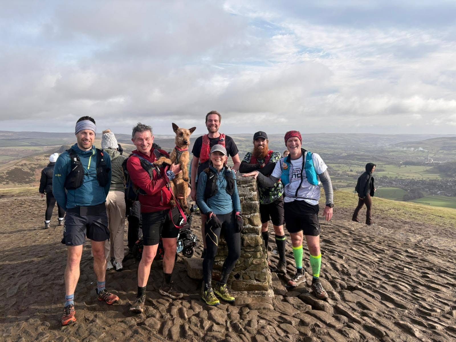
A familiar face on the start line. A new mate on the trail.
Maybe you turn up knowing nobody. A few hours later you’ve shared a climb, got lost in conversation and made plans for the next one. The running brings people together. The connections carry on beyond it.
And you don’t have to be an elite runner or have a hundred-miler on the calendar. If you love getting out on trails and meeting people who understand why you do it, you’ll understand UTC.
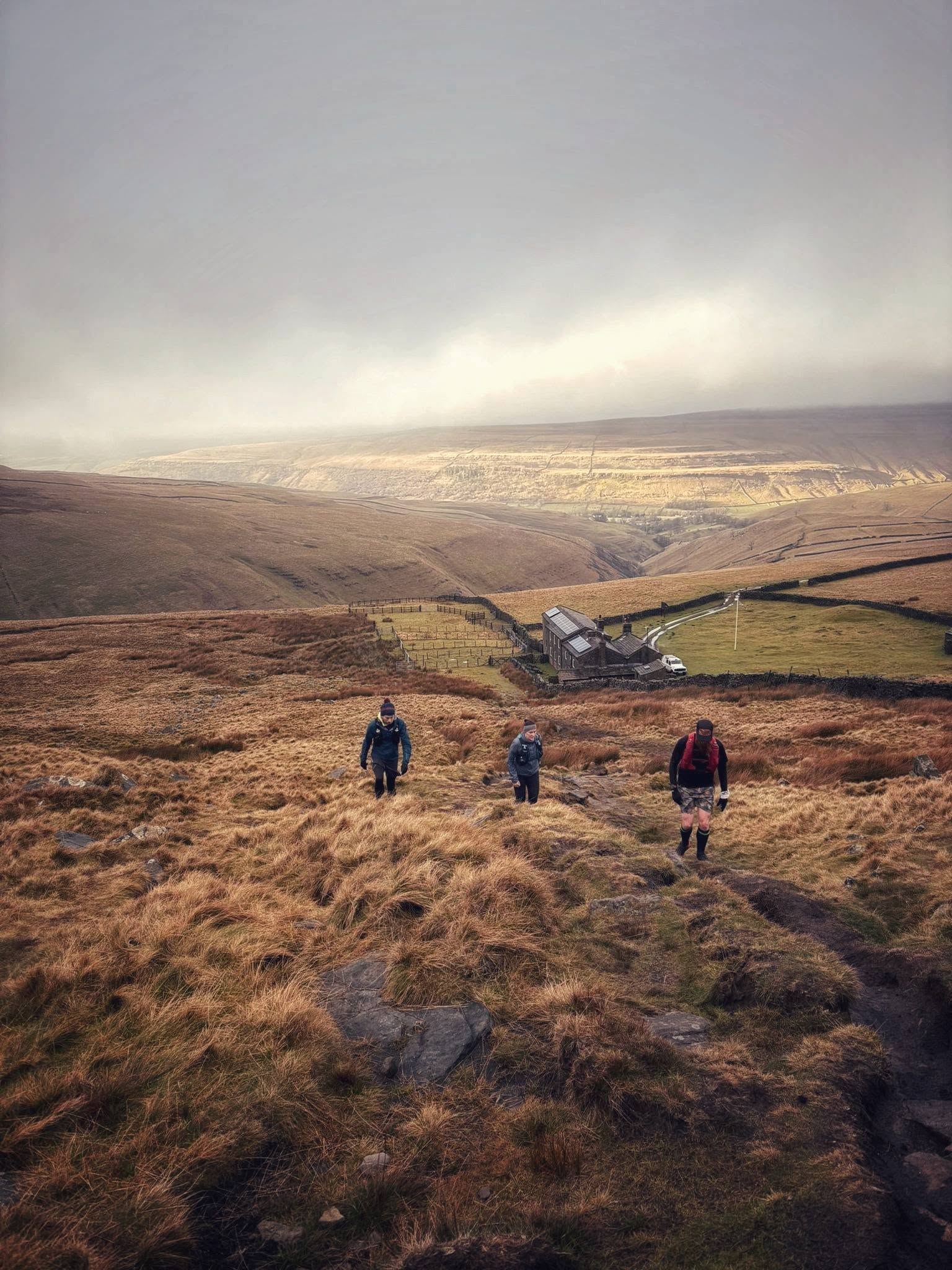
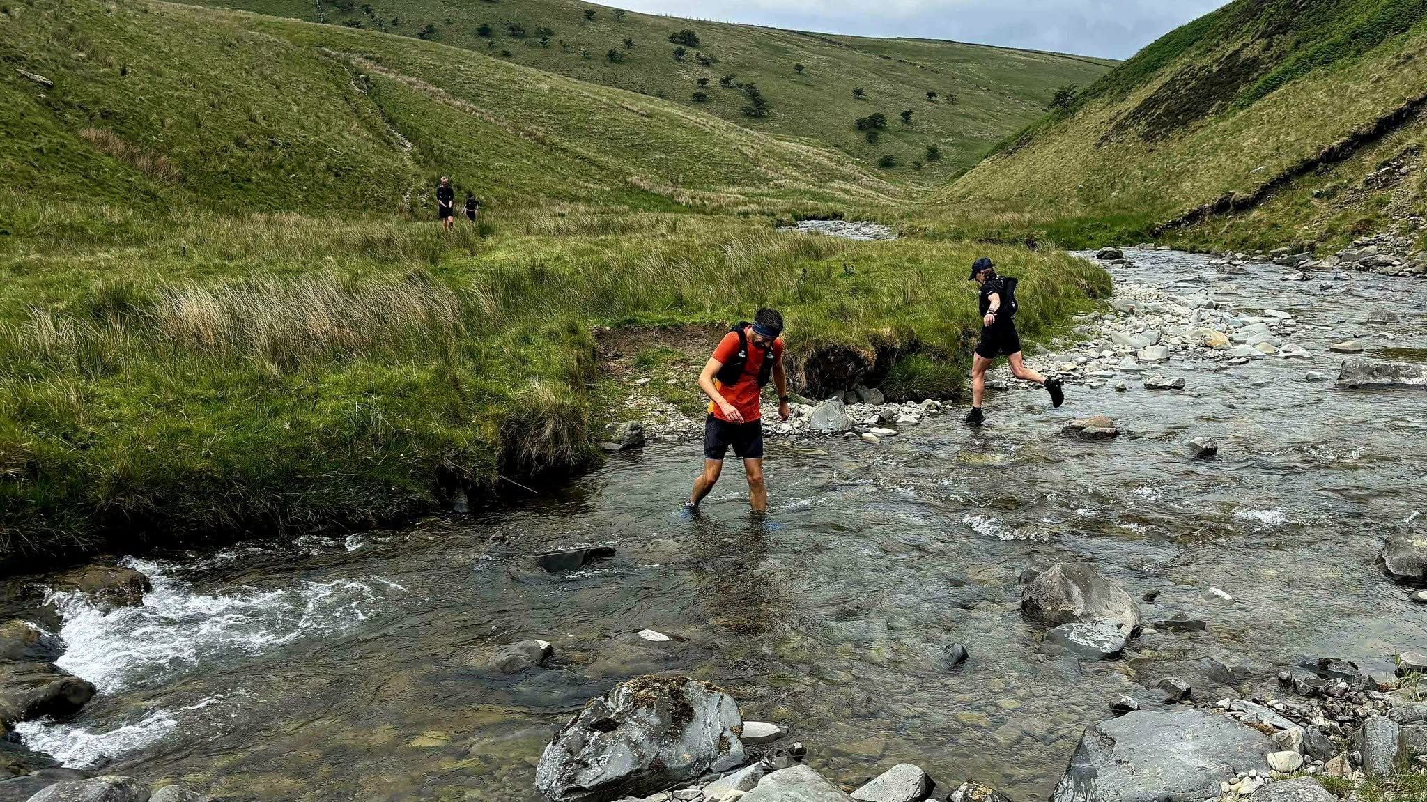
Some of the best days start with a post in the group.
A route you’ve been meaning to try. A recce before your next race. A few miles somewhere new because someone local knows the way. Or an overambitious idea that sounds considerably more sensible when a few others fancy it too.
There’s room for the big stuff and the ordinary stuff. You don’t have to organise anything to belong, but if you’ve got a plan, put it out there. Someone else might have been waiting for exactly that invitation.
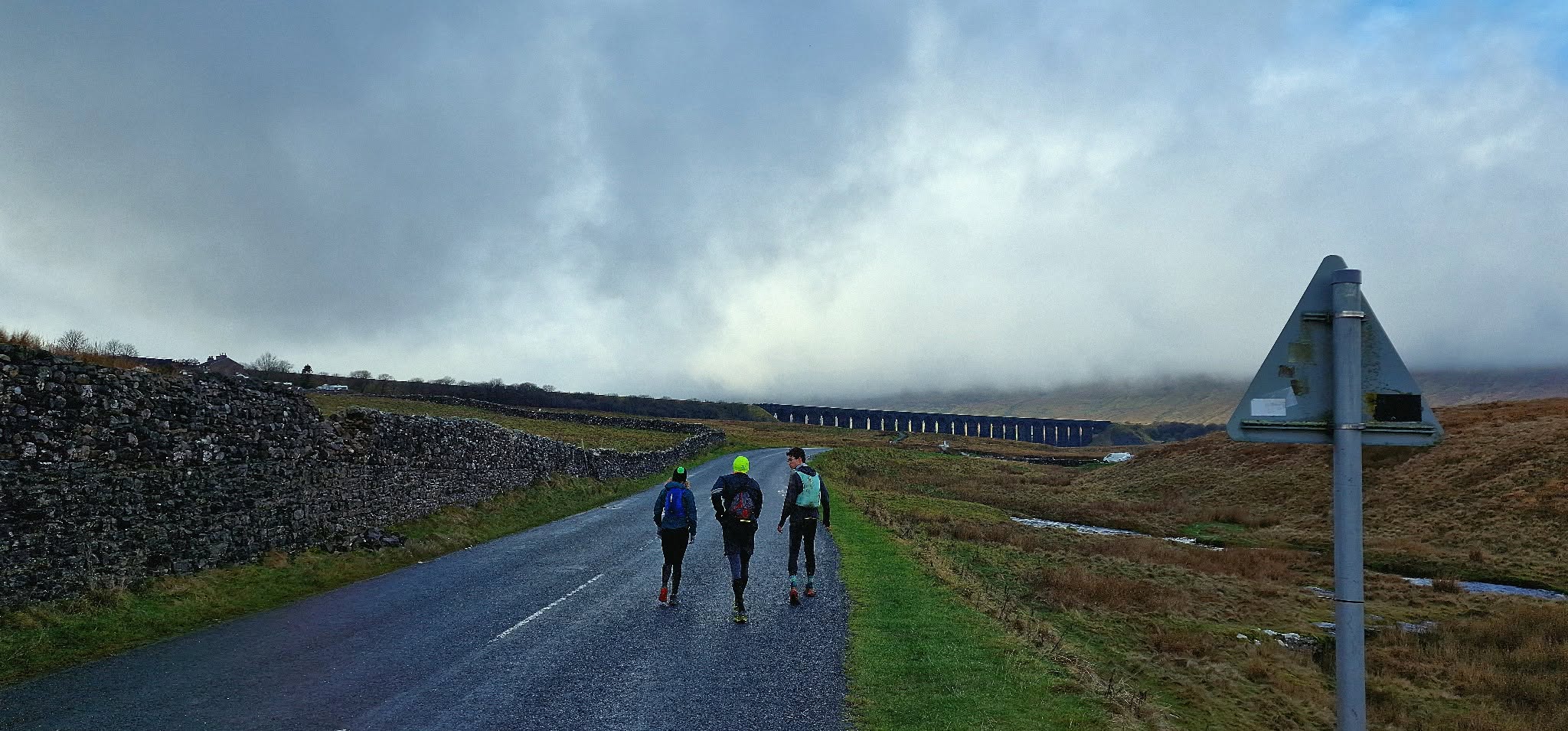
Into the wild
we run.
Most UTC runs, recces and meetups begin in the Facebook group. See what people are planning, join a day that takes your fancy, or put your own idea out there.
Join the UTC Facebook group Follow the adventures on Instagram ↗UTC is a community for sharing informal running plans, not a guided running service. Check the route and conditions, bring what you need and look after yourself in the hills.
A UTC original / The train chase
Dentdale Dash
Take the train out. Run back before it does.
Dentdale Dash starts with the train from Settle to Dent. Get off at Dent Station, turn for home on foot and try to reach Settle before the next southbound train.
The current route drops from the station into Dentdale before working its way back across the Yorkshire Dales. One journey by rail. One on your own two feet.
The challenge
Four hours and thirteen minutes. Can you beat the train?
The proposed train arrives at Dent at 12:16. The next southbound service reaches Settle at 16:29. That's the clock you're up against.
Train out
Settle → Dent
Run starts
12:16
Finish
Settle
Train arrives
16:29
These timings are the current challenge concept, not a confirmed timetable for your travel date. Check train services before setting off.
The route
From Dent, on foot.
Starting high above Dentdale, the route drops into the valley and heads back towards Settle. It's a point-to-point challenge with the train doing the work in one direction and you doing it in the other.
The route is still to be recce'd, so treat the GPX as a working version rather than a final course.
Plan your own navigation, check the current railway timetable and allow for the station's location above the valley.
The first recce · Still to come
There’s a route to run. And a train to catch.
We haven't run Dentdale Dash yet. Once we've been out to test the route, we'll come back with the photographs, the awkward bits and the story of how it went. For now, here's the idea and the working GPX.
Elsewhere in the Collective
Swipe →
Photographs from other UTC days out. We'll replace these with Dentdale images after the recce.
Beat the train?
Let us know.
Share your run, photos or Strava activity in the UTC Facebook group and we’ll add you to the Dentdale Dash completers list.
Share your run ↗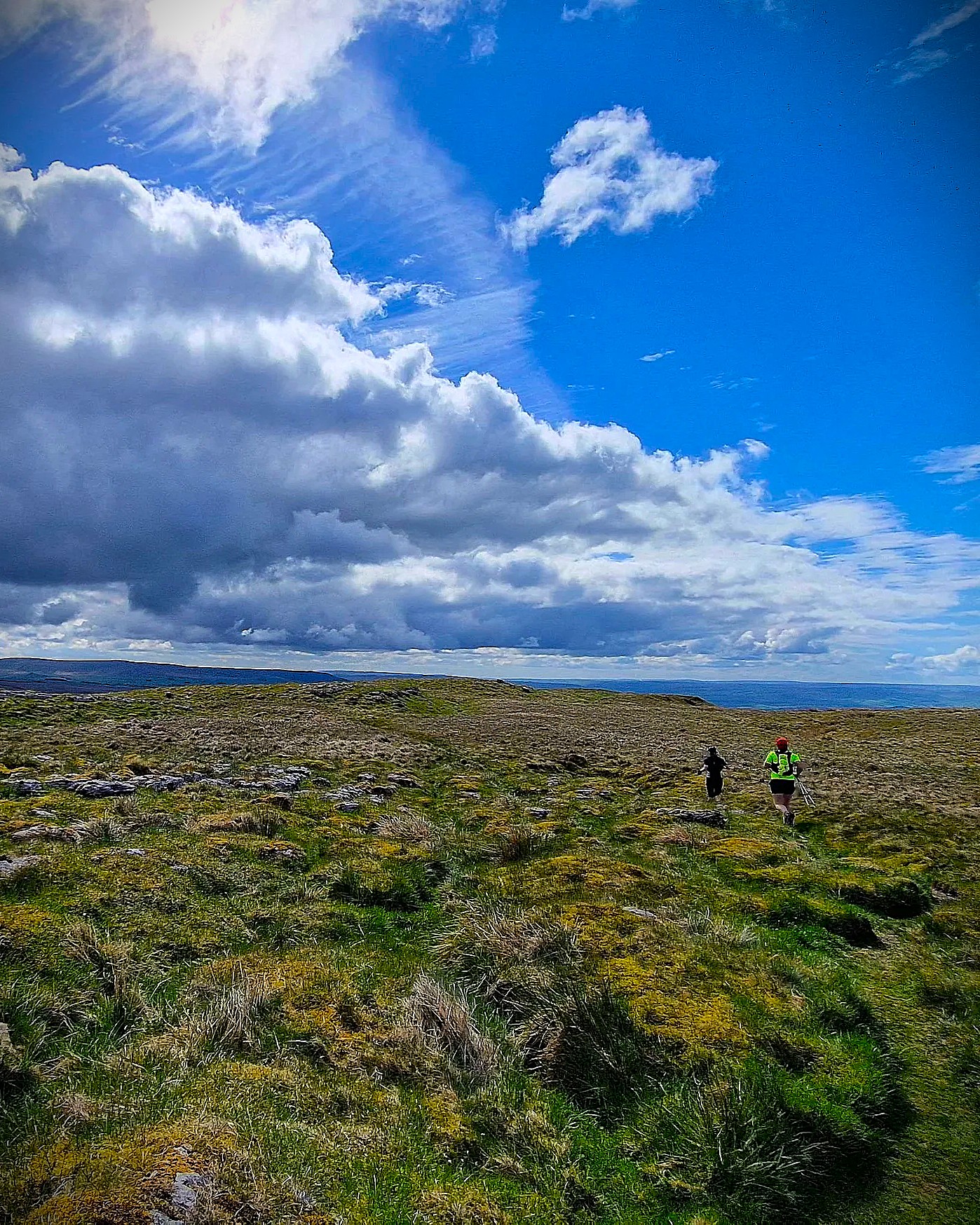
Malham Tarn Returns
A Yorkshire DIY Ultra
The challenge
Malham Tarn Returns is a self-supported ultra built around four loops from Malham Tarn.
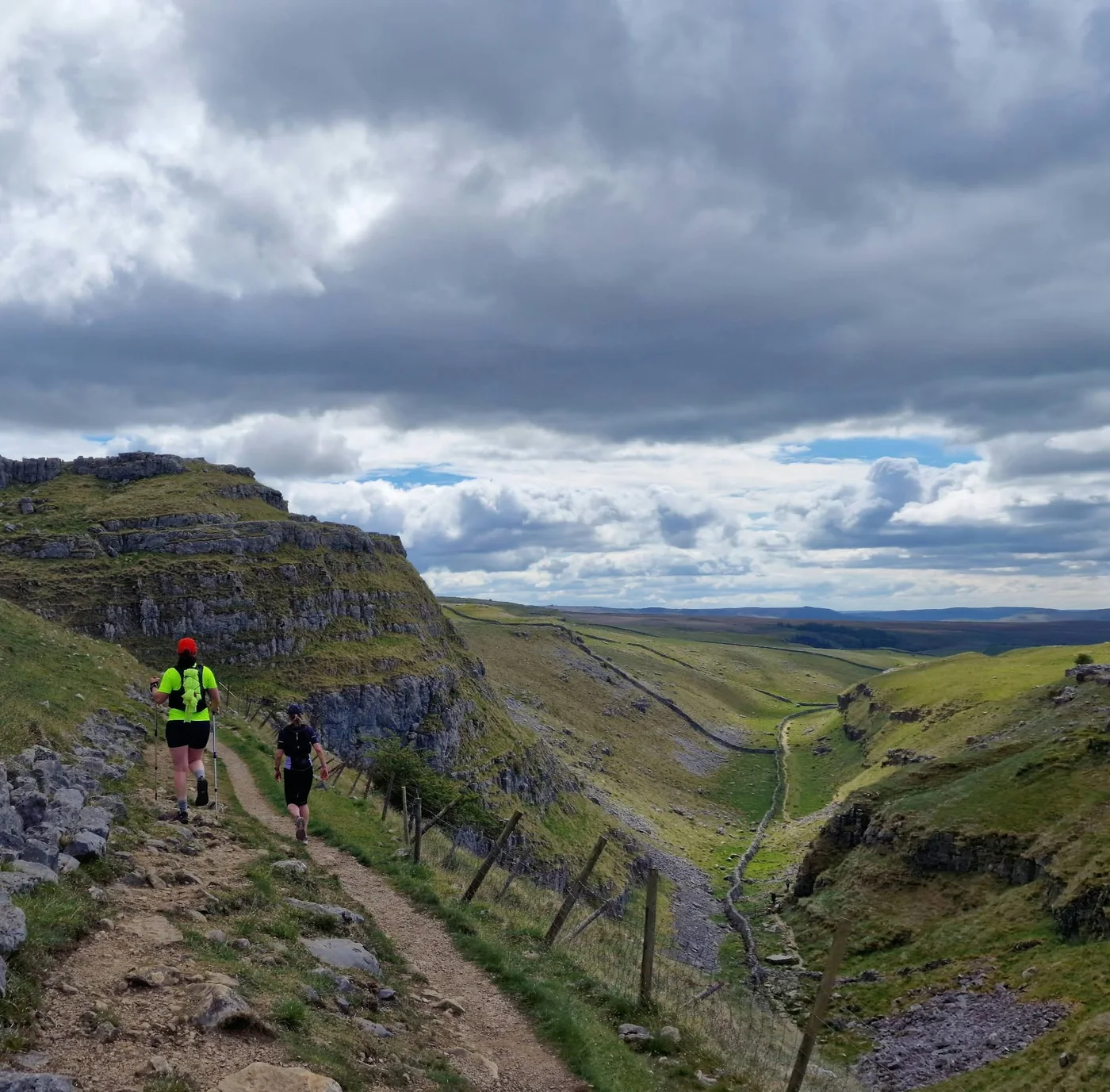
Limestone scars, open moorland, big views and some cracking runnable trails. Four different loops take you through the Yorkshire Dales, each bringing you back to the Tarn before heading off somewhere new.
Run one, do two or keep going for the full 50-odd miles. It's a proper day out in the hills, with the freedom to make it as big as you fancy.
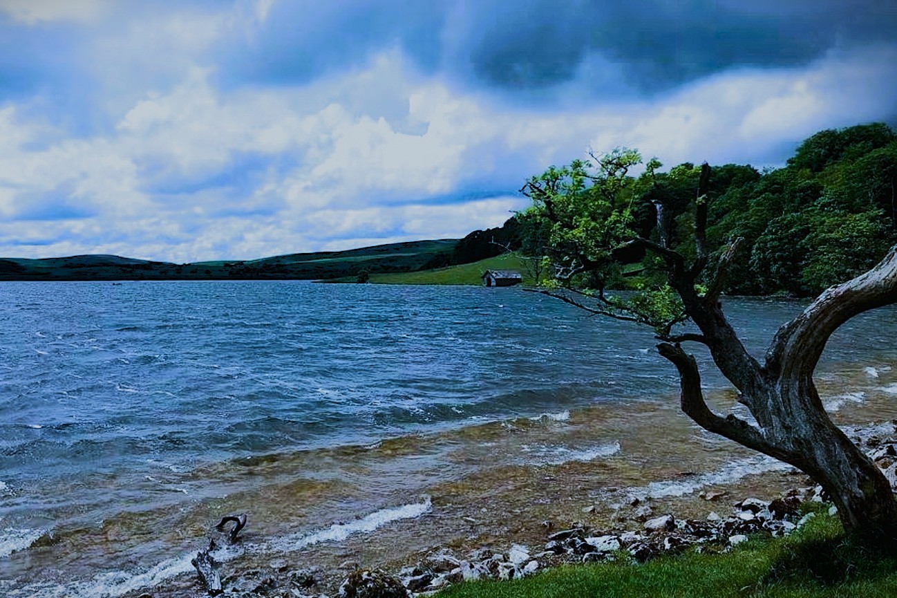
Four loops, and none of them feel quite the same.
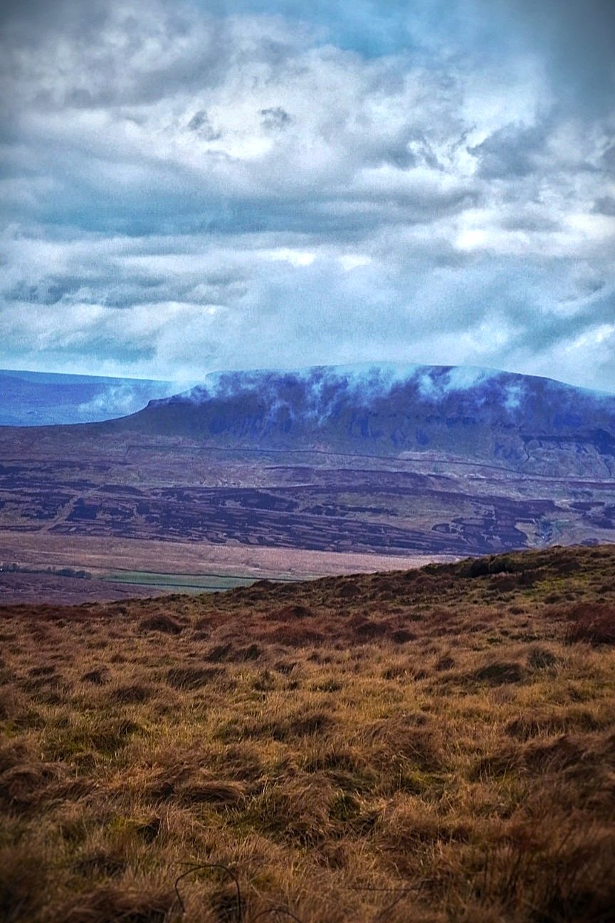
There’s the limestone around Attermire Scar, the climb onto Fountains Fell with Pen-y-ghent across the valley, a long runnable drop into Littondale, the graft back up Yew Cogar Scar, then good runnable trails following the river towards Gordale Scar on the final loop.
Enough variety to make each loop feel like its own little day out, even though you keep coming back to the same car boot.
The format
One loop or all four
The idea is simple. Each loop starts and finishes at Malham Tarn, where your car boot becomes your own aid station.
Food, water, spare layers, dry socks, whatever you think you might need. Run a loop, come back, sort yourself out and go again.
Each loop is roughly half-marathon distance, so you can build towards the full 50 miles without arranging food drops or aid stations across the Dales.
No race number. No clock. No pressure. Just complete the loops in order if you're going for the full challenge.
Ready to give it a go?
The details
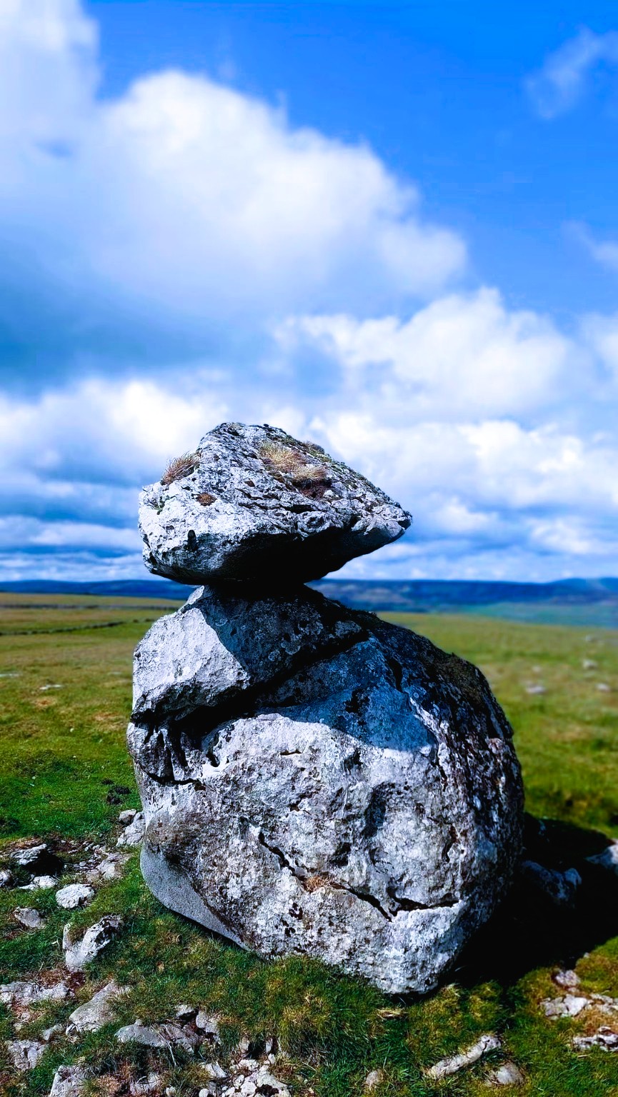
Complete Loops 1, 2, 3 and 4 in order to complete Malham Tarn Returns. Touch the big boulder in front of the information board at the start and end of each loop.
13.47 miles • 2,293 ft
Pennine Bridleway, Attermire Scar and Malham Cove. Runnable early miles followed by classic limestone country and plenty of climbing.
12.21 miles • 1,517 ft
Malham Tarn, Fountains Fell and open peat moorland. A rougher, pathless section across open-access land leads onto Fountains Fell before a quicker Pennine Way return.
13.78 miles • 2,361 ft
Fast trails into Littondale, testing climbs and a return through dramatic Yew Cogar Scar. The biggest climbing loop of the four.
12.23 miles • 1,499 ft
Weets Top, Calton Moor, Janet’s Foss and Gordale Scar. Faster running overall, with one final climb before the finish.
Full challenge
51.65 miles • 7,620 ft
The first go
Three loops, around 40 miles and a cracking day in the Dales.
Loop 1. Into limestone country
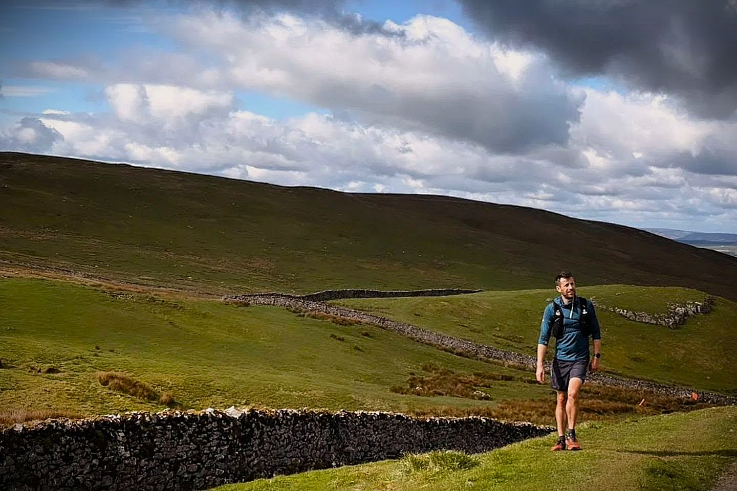
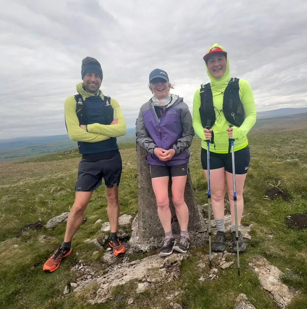
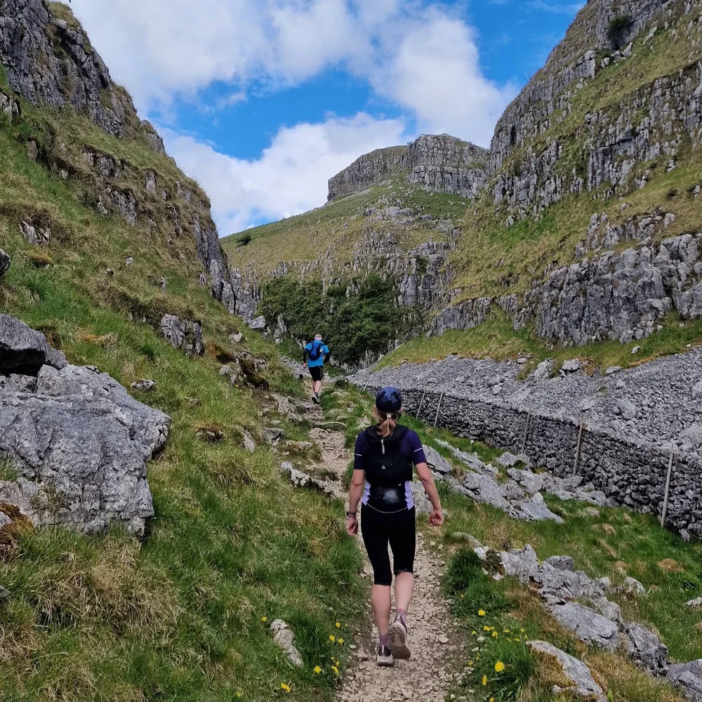
I met Stella and Thea at Malham Tarn car park on a crisp, bright morning in May.
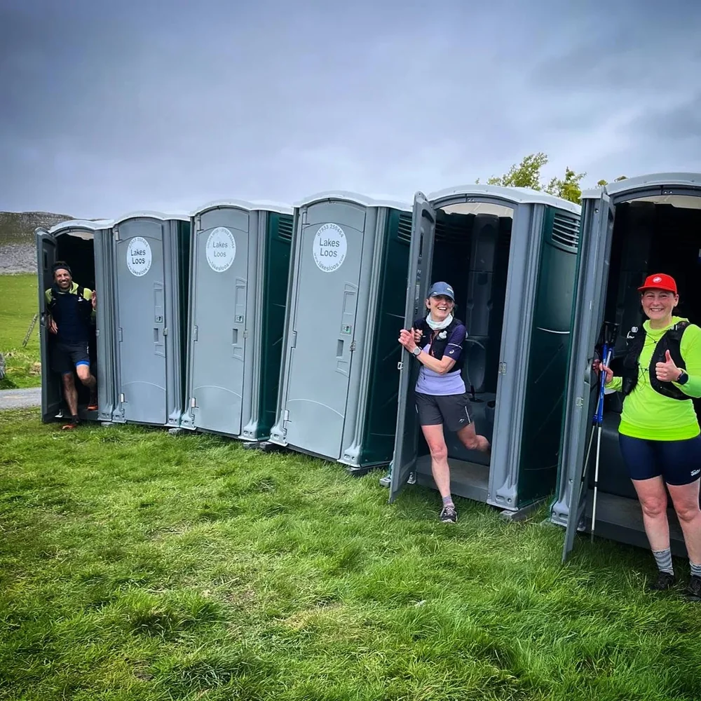
We'd got to know each other through UTC and had already shared a few big days out together. We were there for the first running of Malham Tarn Returns, with another runner planning to join us for Loop 2 while he was in the area.
We touched the boulder beside the information board, started our watches and headed off for Loop 1, full of chat and excitement for the miles ahead.
The route starts with a long, runnable stretch along the Pennine Bridleway. Not the most exciting part by any stretch, but a good chance to wake the legs up and bank some easy miles, with views across the moors towards Pen-y-ghent. We'd be getting a much closer look at that on Loop 2.
Around halfway, we dropped towards Settle before turning sharply uphill into Attermire Scar.
This is where things get really good.
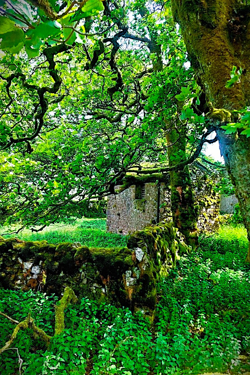
Huge limestone outcrops, grassy trails and some fantastic scenery. Proper limestone country, with caves all over the place.
The route passes a few smaller caves, with the magnificent Victoria Cave not far away. Prehistoric animal remains have been found there, including rhinoceros bones. Rhinos in Yorkshire. Who'd have thought it?
It's worth a little detour if you're not in a rush.
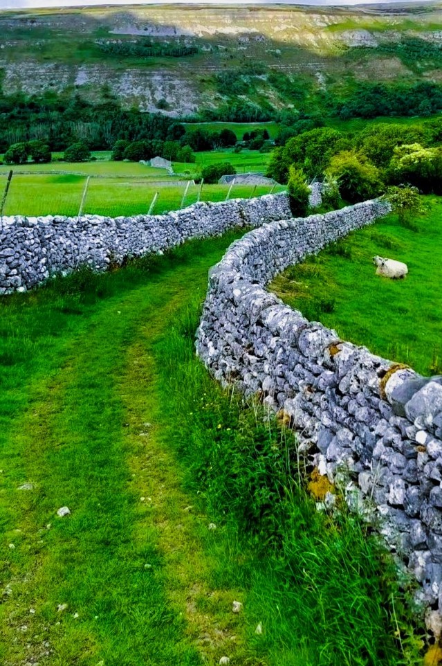
We carried on, gradually climbing back across the moors until Malham Tarn came into view again in the distance.
But we weren't heading straight back just yet.
The route dropped steeply through fields and drystone wall country into Malham, where the steps beside the magnificent Cove were waiting.
That was a proper climb.
The reward was the view from the top, looking out across Malhamdale and the extraordinary limestone pavement. We were still early enough to have the place largely to ourselves, which made it even better.
From there, we had one final climb through the dry valley of Watlowes, winding our way back towards the Tarn.
Back at the car park, we touched the boulder again.
Loop 1 done.
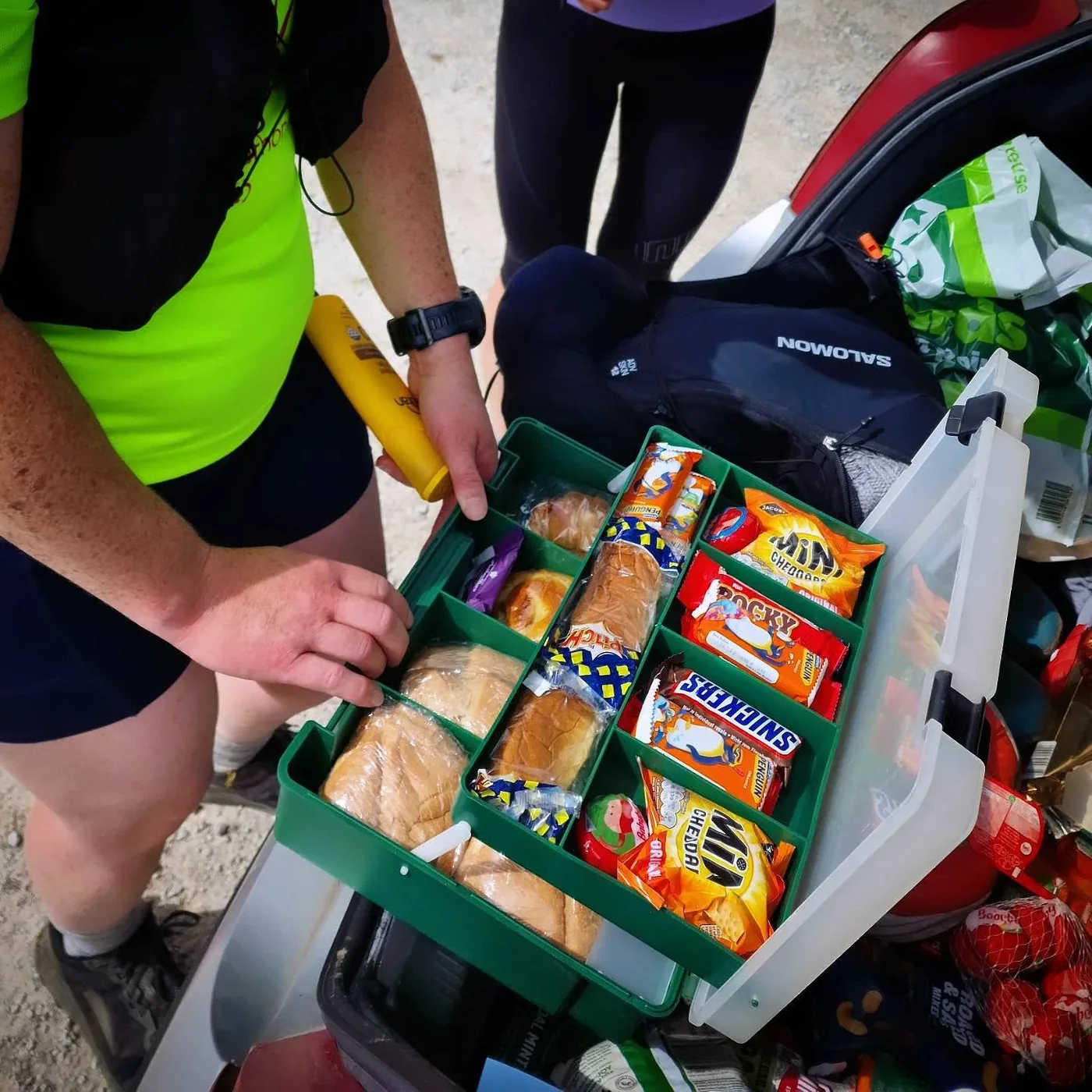
The car boot aid station might be my favourite part of the whole thing.
I’d gone completely overboard. Olives, cheese, crackers, samosas, cake, fruit, apple pie, Babybels, chocolate, pop. It was less an aid station and more a picnic.
Refill the bottles, grab whatever suddenly looks appealing, change a layer, sit down for five minutes, then shut the boot and head back out.
I’d packed so much that I was still eating it the next day.
Loop 2. Up onto Fountains Fell.
Back at the car, we met Colin. He'd seen the event on the UTC Facebook group and happened to be in the area. He didn't fancy the full challenge this time, but was up for joining us for Loop 2. It was great to meet another runner through the group, and all four of us headed out in good spirits.
The route followed the shore of Malham Tarn and picked up the Pennine Way for a short stretch before turning sharply left towards the main climb onto Fountains Fell.
We crossed a few fields, watched by sheep who seemed entirely unimpressed by our plans. Through a gate, a sharp right, and we were following a very faint trod beside the remains of an old drystone wall. It ran almost straight up the flank of the fell, giving us a line to follow as we climbed.
By the time we reached the trig point on the ridge, the wind had picked up and cloud was beginning to roll over the tops.
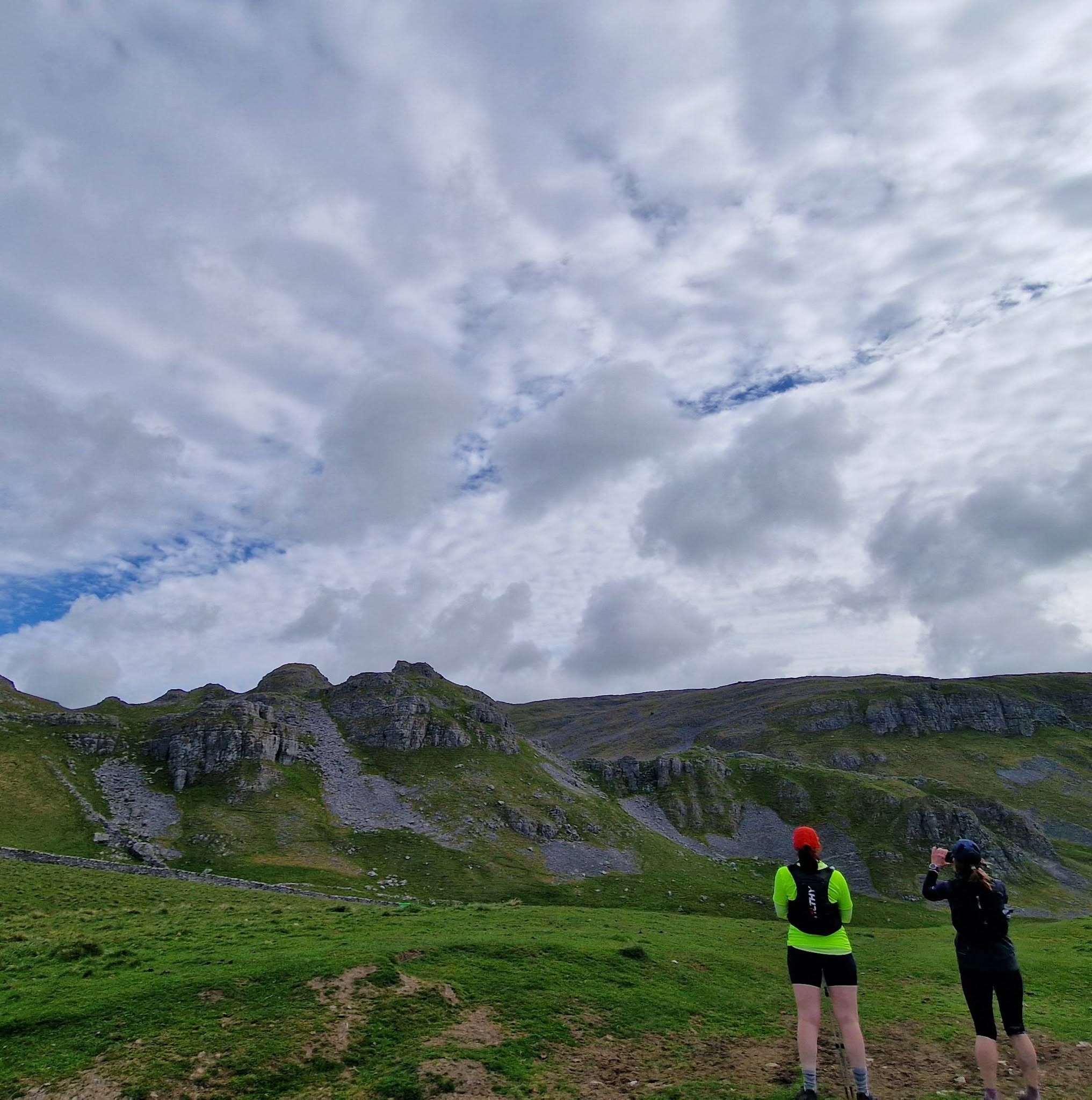
From there, the route headed towards Fountains Fell South Top, past the little tarn and on towards the main summit, its trig point and cairns. The views across the valley to Pen-y-ghent were fantastic. We'd been looking towards it from the Pennine Bridleway on Loop 1. Now we were seeing it from a completely different angle.
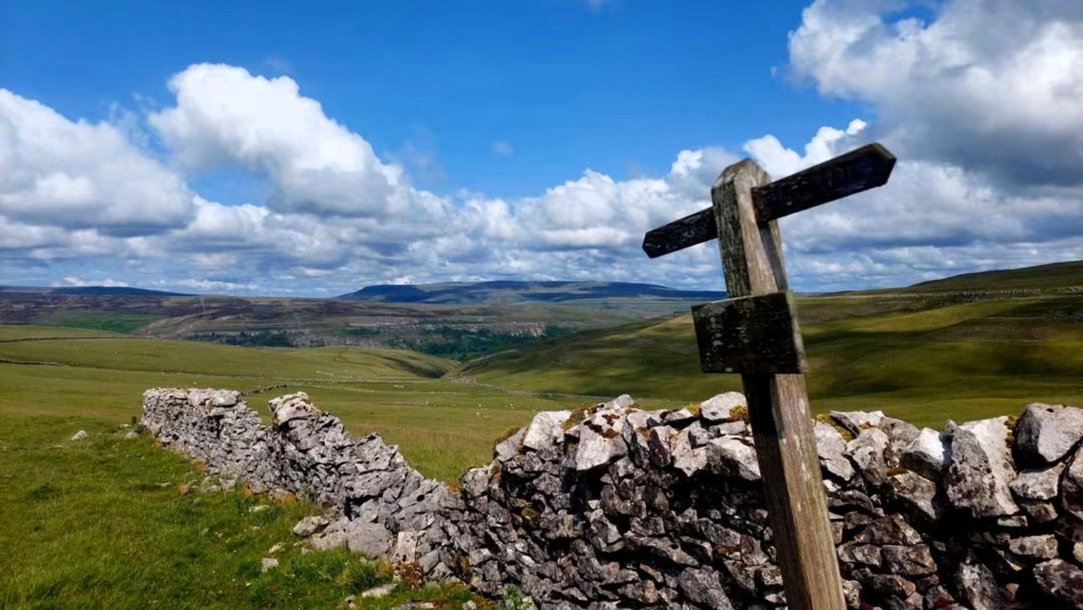
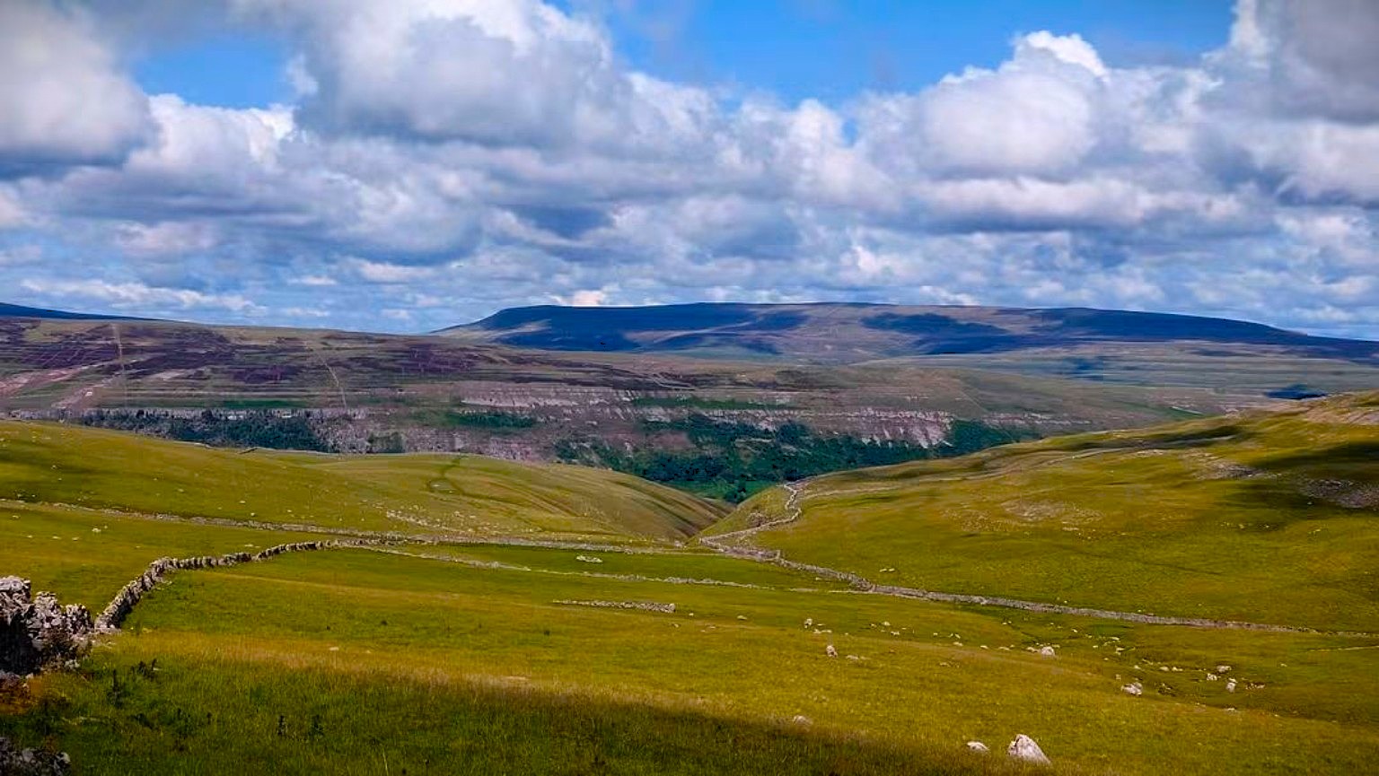
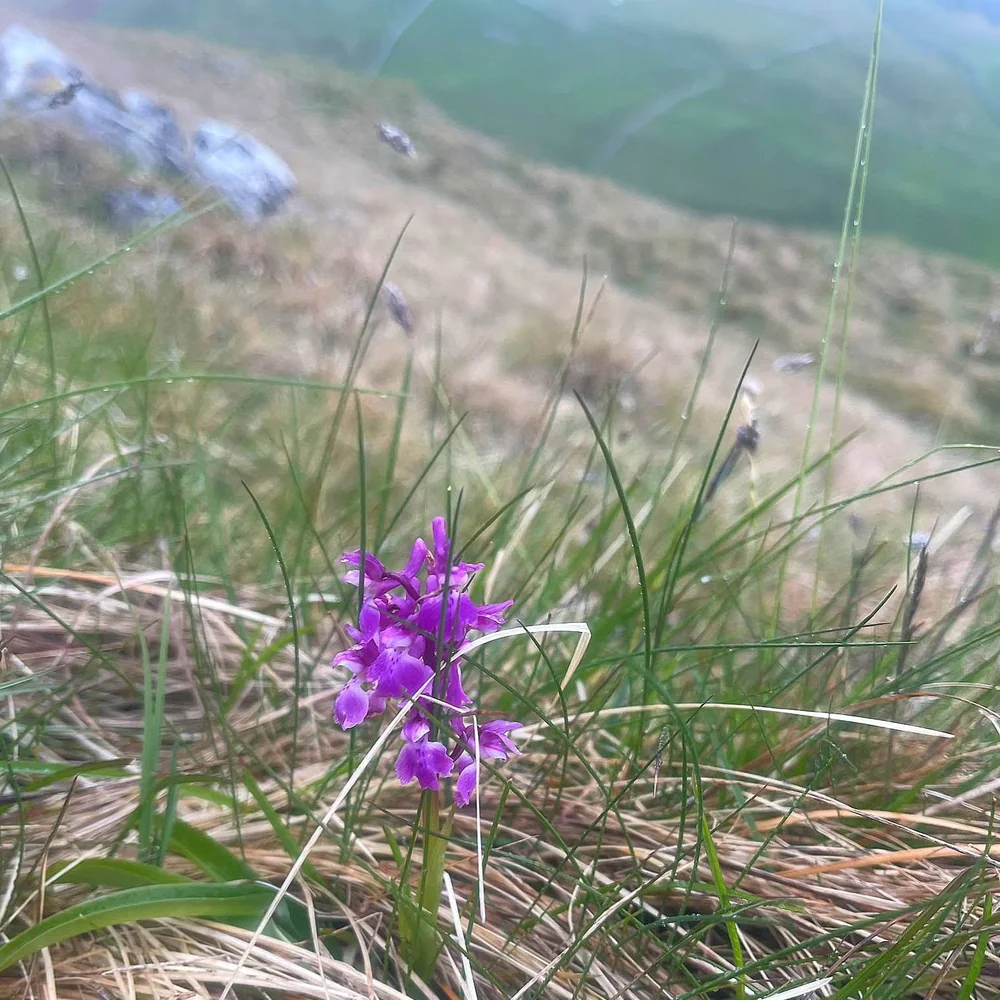
The higher ground was probably the wildest-feeling part of the route so far. The paths became much fainter and we found ourselves weaving around peat bogs. Nothing especially technical, just rougher ground that made you pay a bit more attention to where you were putting your feet and which direction you actually needed to go.
I really enjoyed this section. It felt properly out in the hills.
Eventually we picked up the Pennine Way again and descended on faster trails towards Malham Tarn. After the slower going up top, it was lovely to get the legs turning over again. A final stretch along the shoreline brought us back to the car park.
Loop 2 done.
It was time to unleash the car-boot picnic again.
We said our goodbyes to Stella and Colin, who had decided to call it a day, while Thea and I stocked up on a few supplies, ready to head back out for Loop 3.
By the time we'd finished the third loop, the weather had properly started closing in and the evening was drawing on. It had already been a fantastic day, so we called it there and decided to save Loop 4, and the views that come with it, for another day.
Loop 4 can wait.
That's part of the point really. This isn't a race. If the weather turns, your legs have had enough or you've simply had a cracking day and decide that'll do, head back to the car and call it.
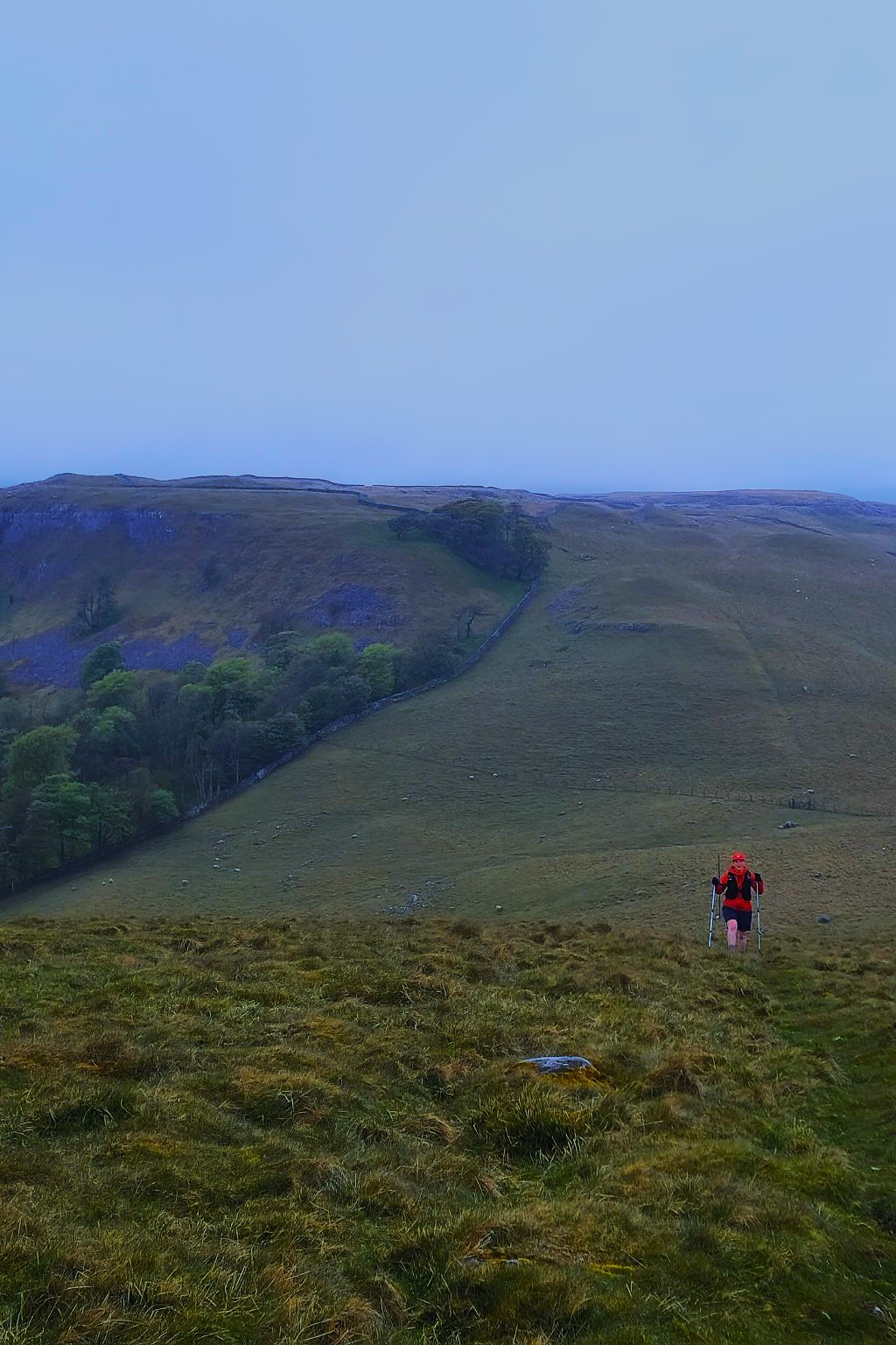
It felt like a proper journey, even though we kept coming back to where we'd started.
I'd wondered whether running loops from the same car park might start to feel repetitive, but it hadn't. Each took us somewhere different. The terrain changed, the views changed, and every return to the Tarn felt like the end of another little adventure.
What I really liked was having our own base waiting. Food, water, dry kit and no worrying about food drops or carrying everything for an entire day. It made the distance feel a little more manageable, without taking away the challenge.
And that was probably the biggest thing I took away from the day. Every time we returned to the car, we had a choice. Eat something, sort ourselves out and head back into the hills, or call it a day.
We'd already had a fantastic 40 miles when we made that decision ourselves.
And that's the beauty of it. There's nobody pushing you to finish, no clock to beat and nothing to prove to anyone else.
How far will you go when the decision is entirely yours?
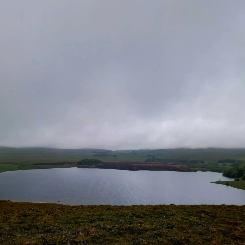
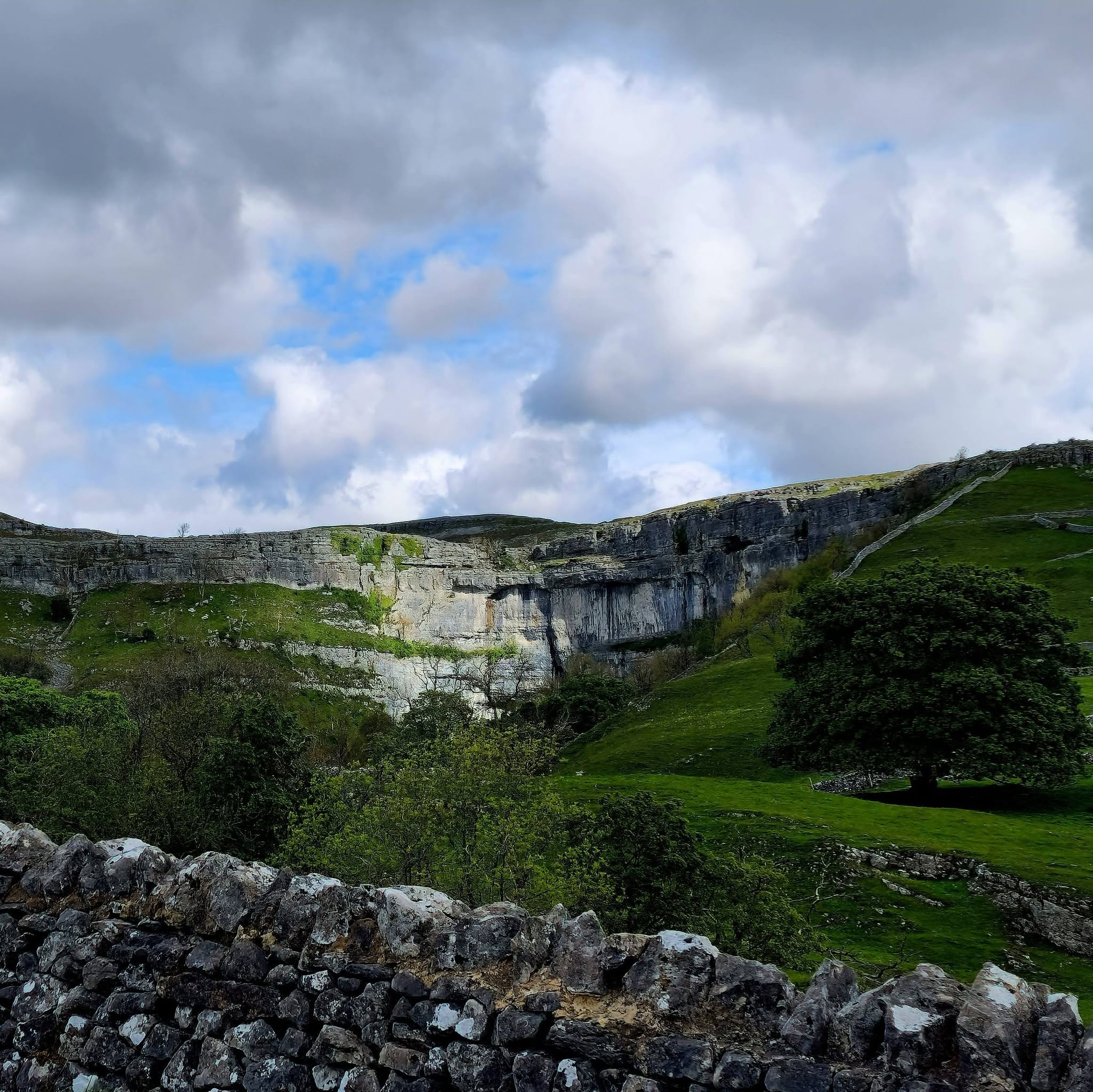
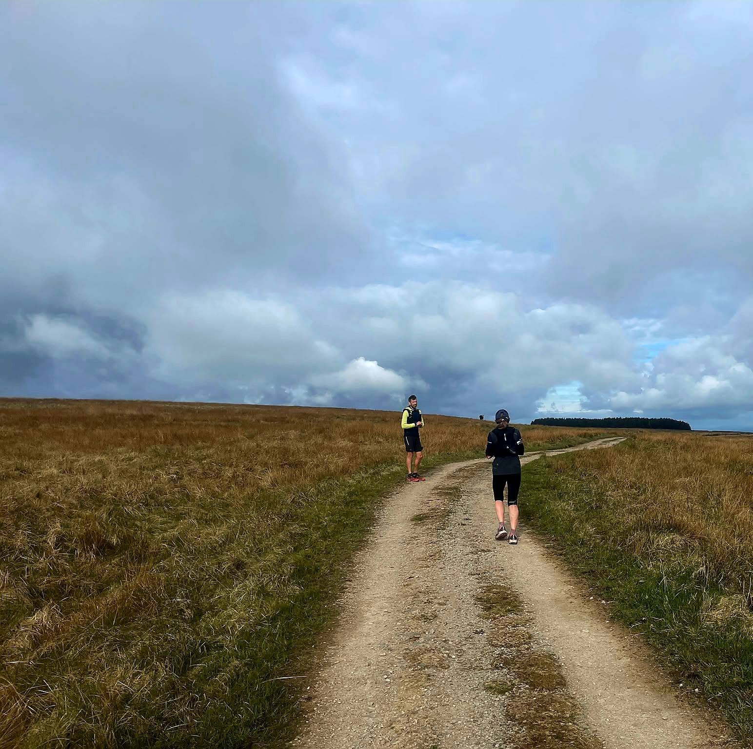
From the route
Swipe →
Done the full four?
Let us know.
Share your Strava or photos in the UTC Facebook group and we’ll add you to the completers list.
Share your run ↗The Route Library
Find a Route
Working our way around the UK, collecting classic rounds, old race routes, local challenges and paths worth pulling your shoes on for.

01 / 30 routes
Yorkshire
Dales, moors, coast, limestone, gritstone, old trods, forgotten paths and a fair amount of bog.
Explore Yorkshire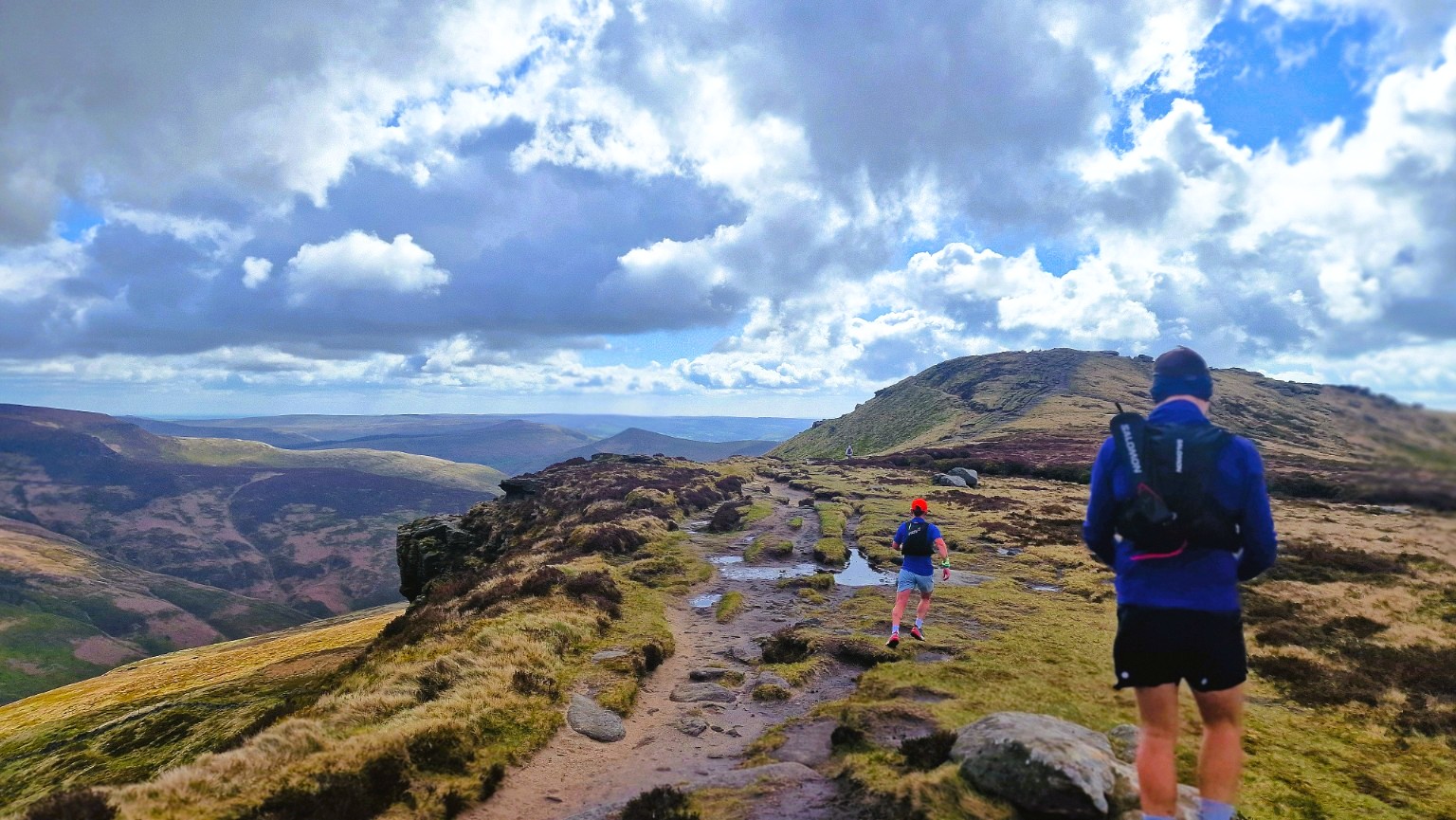
02 / Coming next
Peak District
Gritstone edges, open moors, deep cloughs, old packhorse tracks and proper fell country.
Coming soonAbout the Routes
From the Burnsall Classic and Three Peaks to rough moorland crossings and forgotten trods, Yorkshire has never been short of good running. These thirty routes are our growing collection of classics, local favourites and oddities worth getting muddy for.
Swipe through the routes, use the distance ruler to jump ahead and tap Explored to build your own log. The map shows where each route begins.
This isn’t a definitive list, and we haven’t run every mile. Where a route or challenge was created by someone else, we’ve tried to credit the original source.
GPX files may not reflect current access or conditions. Check the route, terrain and weather before setting out. Spot something that needs updating? Let us know.
Into the wild we run
Dragon’s Ascent
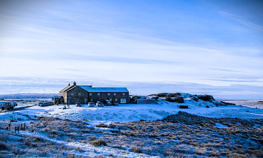
A cracking pub-to-pub journey across the Yorkshire Dales, starting at the historic Green Dragon Inn at Hardraw, tucked away beside the spectacular 100ft Hardraw Force. From there the route climbs onto Great Shunner Fell, topping out at 716m, before dropping into Swaledale through Thwaite and Keld and heading back onto increasingly remote moorland for the final run to Tan Hill Inn, Britain’s highest pub.
At just over 15 miles it’s not a huge day by ultra standards, but there’s plenty packed into it. Big views, exposed fell, waterfalls, peat and some properly wild Dales country, with a pint waiting at the end.
Being point to point needs a little planning. Grab a friend or two from UTC, leave a car at Tan Hill and drive together to the start. Or why not do a double? Turn around at Tan Hill and run the whole route back for a 30.4-mile, near-50K day out, with a second crossing of Great Shunner Fell thrown in for good measure. Then treat yourself to a well-earned post-run refreshment and some food back at the Green Dragon. Perfect.
Tan Hill sits at 1,732 ft and is a familiar landmark to runners on the Spine Race, who reach it after crossing much of the same ground through Great Shunner Fell, Thwaite and Keld. In 2021, Storm Arwen famously trapped 61 people at the inn for three nights after an Oasis tribute gig, with huge snowdrifts cutting off the roads. Gives you some idea what this landscape can be like in winter.
Dragon’s Ascent is an established challenge designed to be attempted independently at any time. Follow the official route and you can submit your completion to the Dragon’s Ascent Hall of Fame.
Simon's Seat
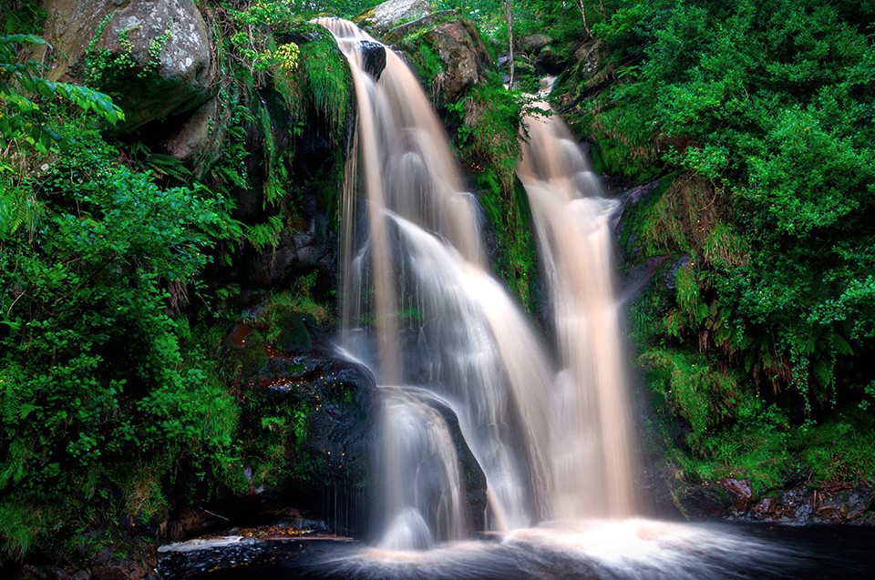
One of our favourite shorter routes. Starting from Barden Tower, it packs a bit of everything into just over 13 miles: riverside paths beside the Wharfe, woodland, waterfalls, fields, quiet lanes, open moor and some properly steep climbing, eventually topping out on Simon’s Seat for huge views across Wharfedale.
The Valley of Desolation is a highlight, especially in autumn when the woods are full of colour and the waterfalls are running well. From there it’s up onto the moors before eventually dropping back towards the river.
Once most of the hard work is done, the route passes the Brownie Barn near Appletreewick. Stop for a coffee and brownie, then you’ve only got around two easy, flat miles beside the Wharfe back to the start. A very civilised way to finish a fell run.
Starting beneath the ruins of Barden Tower adds a bit of history too. The tower began life as a medieval hunting lodge and was later rebuilt by Henry Clifford, the “Shepherd Lord”, who made Barden his principal home after the Wars of the Roses.
Nobody seems entirely sure where Simon’s Seat got its name. One old Wharfedale tale tells of an abandoned baby found on the hill by a shepherd and raised collectively by local shepherds, supposedly giving rise to the name Simon Amangham. Whether there’s any truth in it is another matter.

Wharfedale Three Peaks
A cracking three-summit circuit from Kettlewell linking Birks Fell, Buckden Pike and Great Whernside. Big climbs, rough fell ground and huge Upper Wharfedale views, with a quieter feel than the Yorkshire Three Peaks. The route is also run annually as the Wharfedale Three Peaks Challenge, raising funds for Upper Wharfedale Fell Rescue Association.
Fancy a bigger day? There’s also a 21.5-mile option via Yockenthwaite and Dead Horse Hill. Brilliant running for much of it, with slower going and plenty of peat bog beyond Dead Horse.

Ilkley Skyline
Ilkley Skyline is a cracking circuit of the moors surrounding Ilkley. Starting from the Hermit at Burley Woodhead, it links at least eight different moors, taking in the Twelve Apostles, Rombalds Moor, Beamsley Beacon, Round Hill, a string of trig points and the Mosquito Bomber memorial along the way. Mostly fell and field running, with rough moorland, bog, big open views and only short stretches of road, it feels like a proper journey around the whole Ilkley skyline.
The route crosses the River Wharfe using stepping stones near Burley late in the circuit. These can become impassable after heavy rain, so check river levels before setting off.
Created by Mike Ayers of the brilliant North Leeds Fell Runners. Full challenge details, checkpoints and submissions are available through NLFR.
Yorkshire Three Peaks
The Yorkshire classic. Starting from Horton-in-Ribblesdale, this famous circuit takes in Pen-y-ghent, Whernside and Ingleborough, the three highest peaks in Yorkshire. Lots of climbing and even more views, with limestone country, open fell and three very different summit climbs packed into one big day out.
For walkers, the traditional challenge is to complete the circuit inside 12 hours. For runners, it’s a brilliant year-round route in its own right, while the Three Peaks Race is one of those events that sits firmly on many a fell and trail runner’s list.
It can be a bit of a love-hate route. The huge numbers of visitors over the years have meant plenty of stone pitching and flagstones are now needed to protect badly eroded ground, so parts can feel more engineered than wild. But pick a quieter out-of-season day and you can still have the place almost to yourself and be in for a proper wild adventure. Get lucky and catch a cloud inversion and there’s nowt better.
The Three Peaks Race has been running since 1954, when just six runners started and only three finished. Jeff Norman’s 2:29:53 from 1974 remains the fastest recorded traverse of the Three Peaks, although it was set on the shorter old Chapel-le-Dale course.

Tour of Ingleborough
A UTC take on a full tour of Ingleborough and a favourite with our runners. Circle the mountain for huge views from every angle, with two very different summit ascents, big climbs, limestone pavement, caves, potholes and brilliant trail. It feels much bigger than 23 miles and makes for a cracking day out. Finish back in Ingleton with fish and chips from Ingleton Chippy. Hard to beat.
Mostly well-trodden footpaths, with slab paving, boggy ground and rough sections underfoot. Avoid the River Doe stepping stones after heavy rain and use the lane detour.
DOWNLOAD GPX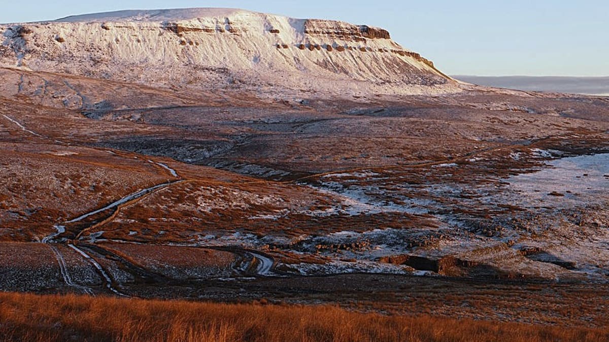
Tour of Pen-y-ghent
A UTC take on a full tour of Pen-y-ghent and Plover Hill, leaving the usual crowds behind for the wilder Foxup Moor side of the mountain. From Horton-in-Ribblesdale the route passes the enormous Hull Pot before heading onto remote fell paths around the mountain, with big views across the open moors. It then traverses beneath Fountains Fell through a steep-sided valley dotted with little waterfalls, before joining the Pennine Way for the final climb to Pen-y-ghent summit. Wild, varied and surprisingly quiet for one of Yorkshire’s best-known mountains, with a real sense of journey from start to finish. A cracking way to properly explore Pen-y-ghent.
Rough and remote in places, with steep rocky ground on the summit climb where hands may be needed. Take extra care in wet or poor weather.
DOWNLOAD GPX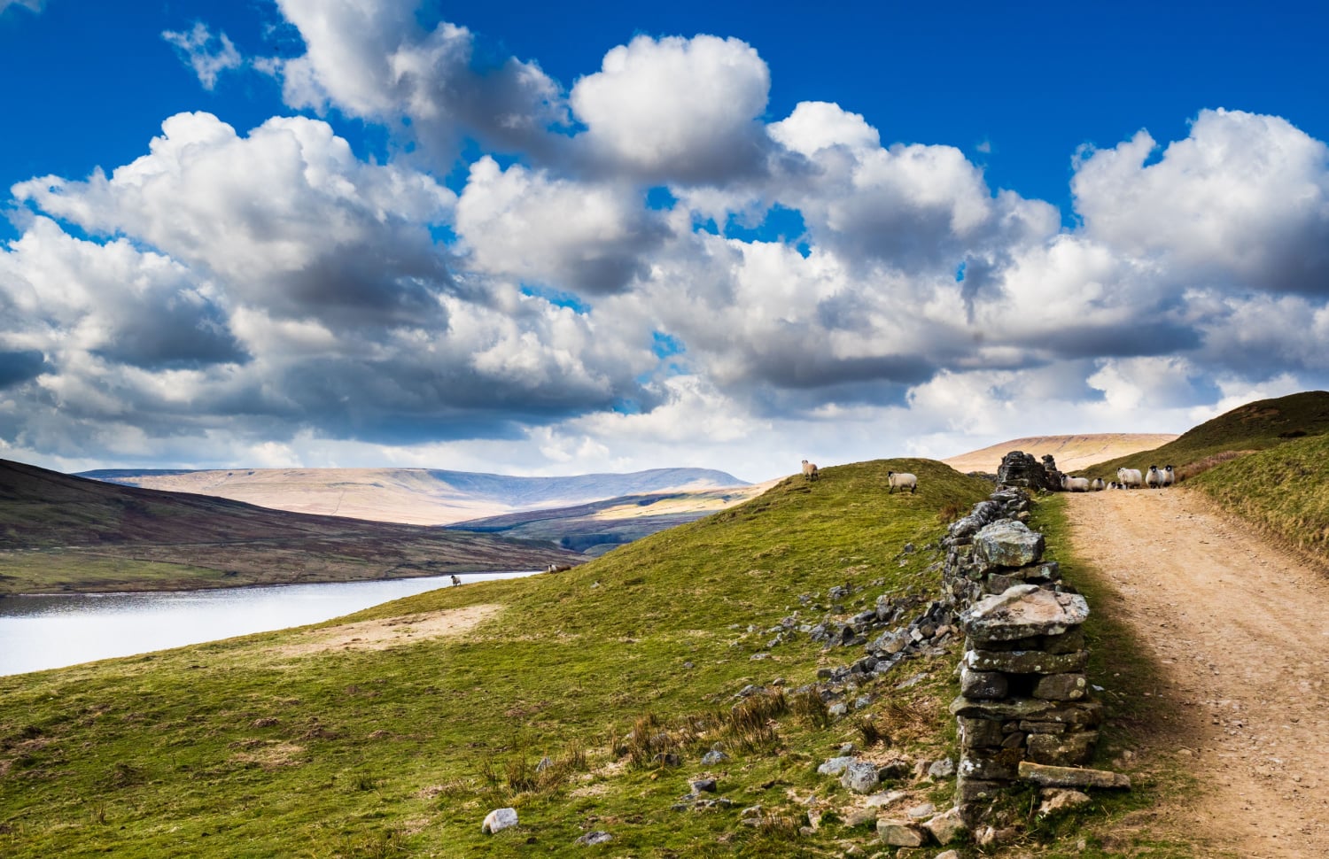
Road to Nowhere
A properly remote loop into the high moors of Upper Nidderdale. Starting beside Scar House Reservoir, the route climbs Little Whernside before heading across the Great Whernside plateau and into the emptier ground around Mossdale, Riggs Moor and Armathwaite Moor.
Expect lots of bogs, transient trods, rough open fell and long stretches where there’s really not much about.
The route crosses Riggs Moor, close to the point often cited as the most remote spot in England, around 2.4 miles from the nearest road.
Road to Nowhere was put on by Nidderdale Fell & Trail in 2024. Low numbers meant it didn’t return in 2025. Hopefully it comes back. This one deserves another outing. A cracking route.
Scar House wasn’t always this quiet. During construction of the reservoir, a temporary village of around 2,000 people sprang up here, complete with shops, a school, church, post office and even a 600-seat cinema.
Saint Aelred’s Pilgrim Trail
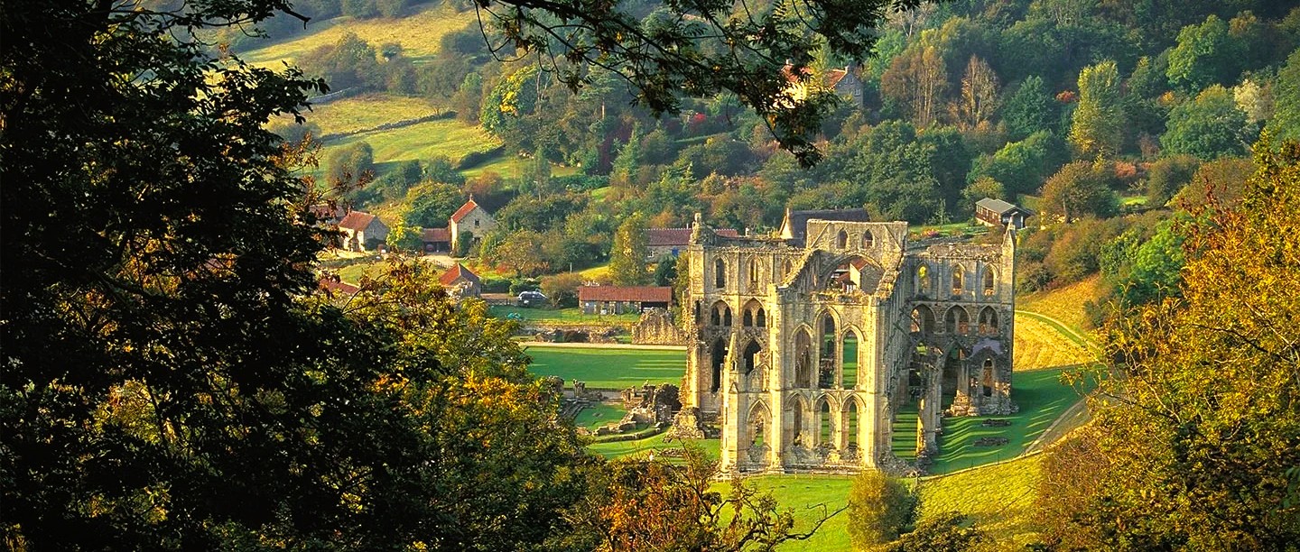
A wonderfully unusual 41-mile pilgrimage through the North York Moors, starting and finishing in Helmsley and linking remote villages, historic churches and the ruins of Rievaulx Abbey.
Traditionally walked as a multi-day pilgrimage, taking the whole thing on as a single-day run turns it into something quite special. And with more than 5,000 ft of climbing, this is no gentle wander between churches. There is enough ascent, distance and rough ground to make the journey feel properly earned.
You can carry a pilgrim passport and collect stamps as you make your way around the route, giving each stop a little more meaning than simply ticking off another checkpoint. The trail is rooted in Christian pilgrimage but welcomes people of all faiths and none. Come for the connection, the history, the landscape, the challenge, or simply the feeling of making a proper journey rather than just following another GPX.
Named after Saint Aelred, Abbot of Rievaulx from 1147 to 1167, the trail grew from the Upper Ryedale Parish Trail and was extended to 41 miles in 2024. Local pathfinders Joyce Garbutt and Mal Gyte walked and mapped the route through autumn and winter, linking the area’s historic churches with Rievaulx Abbey.
Dales Mountains 30
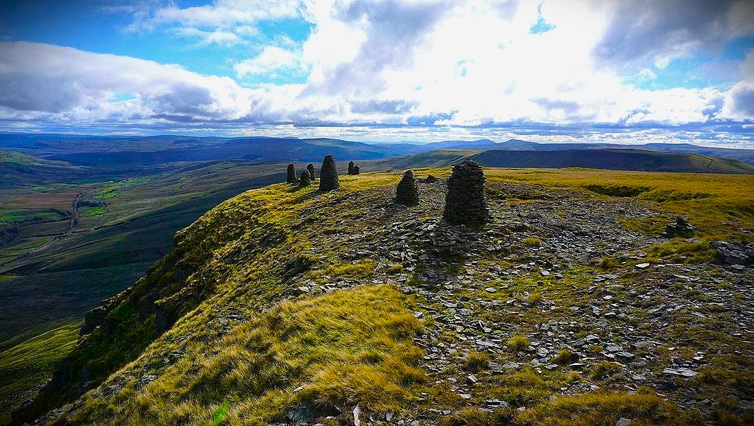
The Dales 30 was originally created by Jonathan Smith of Where2Walk as a challenge to summit all 30 mountains over 2,000 ft in the Yorkshire Dales National Park. Usually tackled mountain by mountain over separate days and trips, it was conceived as a Dales alternative to challenges such as the Wainwrights.
In 2020, Yorkshire ultrarunner Tom Hollins took the established Dales 30 and turned it into something considerably bigger, linking all 30 summits into one continuous round. The result is around 130 miles with roughly 30,000 ft of climbing across some of the biggest, roughest and quietest country in the Yorkshire Dales.
There is no prescribed line between the summits, so how you link them is part of the challenge. Expect bog, tussocks, rough moorland and plenty of ground where progress comes hard-earned. Hollins completed his self-supported round in 41hrs 18mins. Or forget the clock, split an example line over several days and it becomes one hell of a Yorkshire Dales fastpacking trip.
With Covid restrictions limiting travel in 2020, Hollins spent more time running locally in the Dales. He realised that while the Dales 30 already existed as a mountain-bagging challenge, nobody had linked all 30 into a single continuous round. He began recceing and refining different lines before taking on the full challenge.
Route choice is part of Dales Mountains 30. The GPX provided is an example line linking all 30 summits, not a compulsory route.
Wold Rangers Way
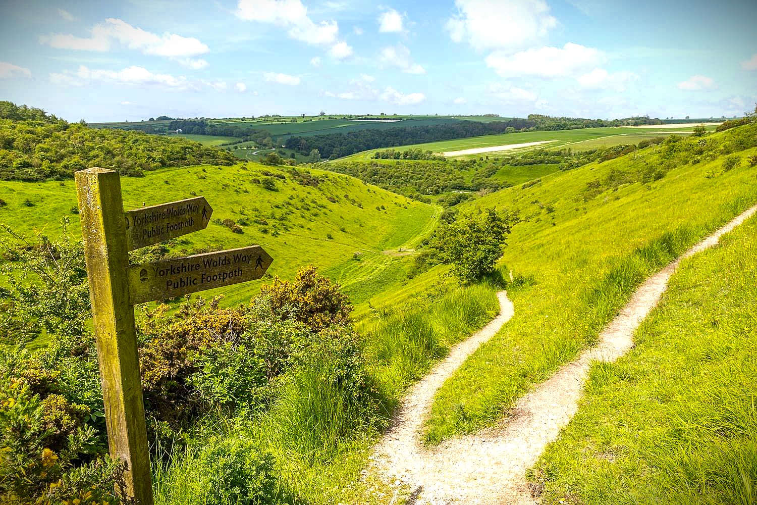
Starting and finishing in Driffield, the Wold Rangers Way rolls through 44 miles of chalk hills, dry valleys, green lanes, bridleways and quiet Wolds villages, across a landscape deeply shaped by generations of farming and rural life.
It’s cracking running country. Long runnable tracks, steady rolling climbs and plenty of flowing trail make this a route where you can settle into a rhythm and really cover ground.
Late spring into early summer should be a brilliant time to run it, with the Wolds at their greenest and areas of orchid-rich chalk grassland coming into flower.
The Wold Rangers were itinerant agricultural workers who travelled these lanes and villages looking for seasonal work. Names like Ginger Joe, Horsehair Jack, Mad Halifax, Dog Geordie and Croom Mabel still live on through the stories and shorter “Trods” around the Wolds.
If you fancy digging a little deeper, the official Wold Rangers Way site has loads of fascinating history about the area and the people who trod the same trails before you.
If you'd rather take it on with checkpoints, company and someone else worrying about the logistics, the guys at Ultra Trails also put on the Wold Rangers Way Ultra, a 52 km race using much of the route. Well worth a look.
Smugglers Trod
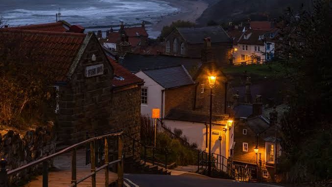
Starting in Robin Hood’s Bay, the route heads across the moors behind the Yorkshire coast before swinging through Ravenscar, with its high sea cliffs, and back towards the sea. It’s nearly 25 miles of moorland tracks, fields, forestry, old railway and coastal paths, with plenty of great trail running and views to boot.
Robin Hood’s Bay was one of the busiest smuggling communities on the Yorkshire coast during the 1700s, with tea, tobacco, silk, gin, rum and brandy landed from the sea and moved inland through a network involving fishermen, farmers and landed gentry. It’s easy to see where the challenge gets its name.
The village is full of stories of hidden passages, cellars and bolt holes used to keep contraband away from the excise men. Local tradition even has bales of silk being passed from house to house without ever appearing in the street.
This feels like a particularly good winter route. Time it right and you can drop back into Robin Hood’s Bay as the light disappears, when the steep lanes and old stone buildings make all that smuggling history come alive. Finish with a couple of pints in the 17th-century Smugglers Inn down by the beach and the walk back through the village should complete the effect nicely.
If you want to make a weekend of it, the fabulously named Boggle Hole YHA sits just down the coast path beside the sea and makes a brilliantly atmospheric base.
The challenge has been part of the Yorkshire Coast LDWA calendar since 1987 and is now available as an Anytime Challenge.
Brontë Round
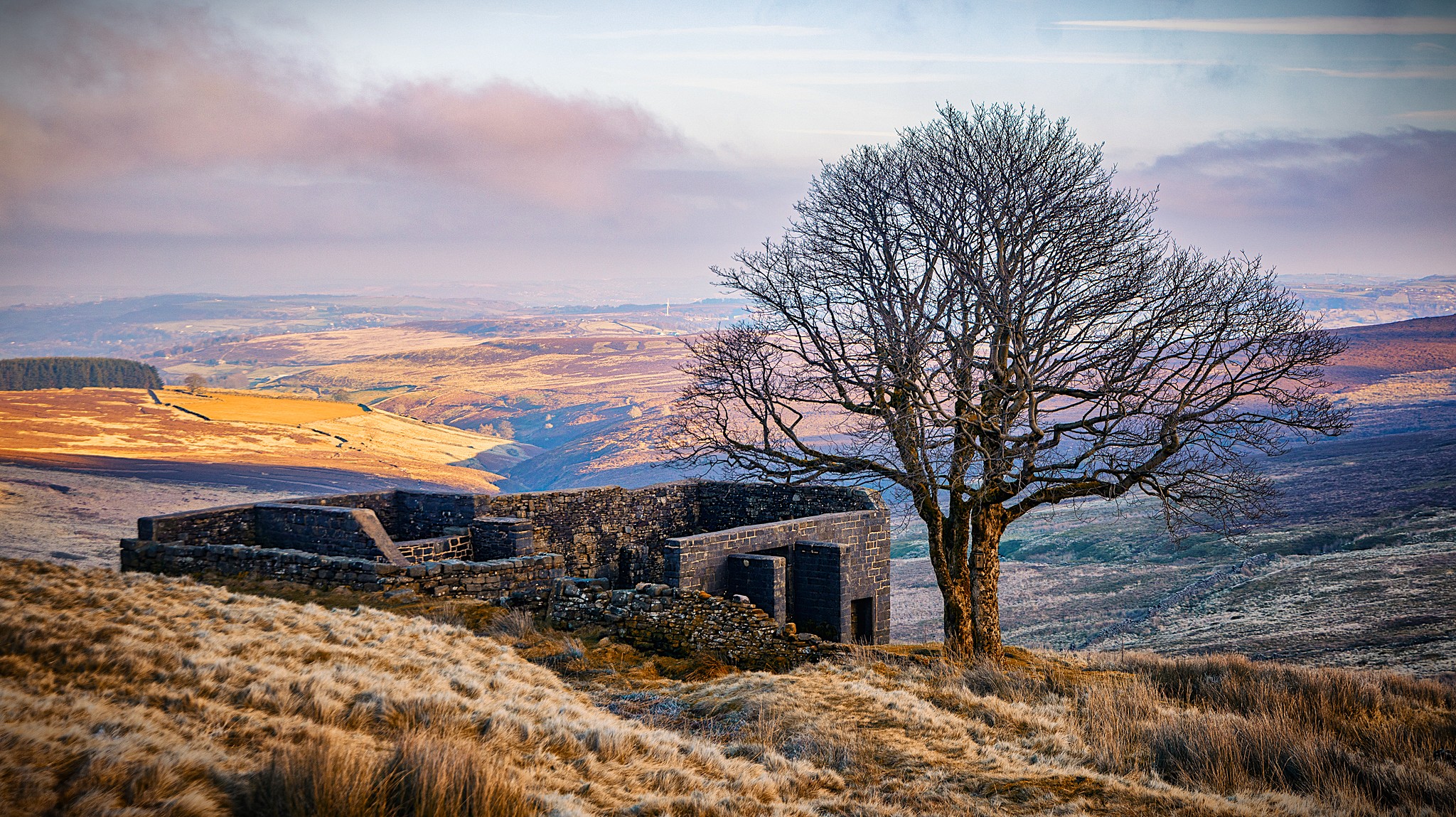
Starting and finishing in Hebden Bridge, this South Pennine round packs a lot into just over 22 miles. The route climbs through the wooded valley of Hardcastle Crags before heading over the moors towards Haworth and into the heart of Brontë country.
From Haworth it heads past Penistone Hill, Brontë Bridge and Brontë Waterfall before climbing onto the open moor to Top Withens. From there the route crosses the high ground around Walshaw Dean Reservoirs before dropping back through Hebden Dale towards Hebden Bridge.
It’s a brilliant mix for running. Woodland trails, gritstone tracks, reservoirs, peat, open moor and long Pennine views, with enough climbing to make it feel like a proper day out without needing ultra distance.
Finishing back in Hebden Bridge is a pretty good bonus too, with no shortage of pubs, cafés and places to eat once you’re back off the moors.
The Brontë sisters grew up in Haworth from 1820, with the Parsonage sitting right on the edge of the moors that became such a powerful part of their writing. Top Withens is one of the defining landmarks of Brontë country, standing alone on the open moorland that inspired the wild landscape of Wuthering Heights.
Brontë Waterfall has its own connection to the family too. Charlotte Brontë recorded walking out to see it after heavy rain and melting snow in November 1854, describing the normally modest waterfall transformed into a torrent. Nearly two centuries later, this round still takes you through those same moors, valleys and old tracks that shaped the Brontës’ world.
Whitby Steam Run
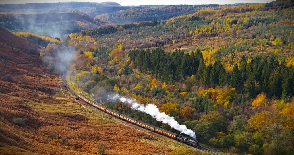
Start in Whitby, grab a coffee, relax and jump on the steam train to Pickering, then run a beautiful route back to Whitby Pier. A proper point-to-point adventure with dead easy logistics.
The route heads back across the Moors through woodland, rolling hills, open trail and quiet valleys, with the railway popping in and out along the way. It’s really runnable, with plenty of flowing trail, but enough climbing and rolling moorland to keep your legs honest.
One of the stand-out bits is the Hole of Horcum, a huge natural bowl cut into the moorland, around 400 ft deep and more than half a mile across. It looks properly massive from the edge.
Later you pass Beck Hole, where the tiny Birch Hall Inn sits tucked away in the wooded valley. Parts of the building date to the 1700s and the pub has been serving people since around the 1860s, when the valley was busy with ironstone mining and the railway. Stopping for one seems a brilliant idea, right up until you have to get going again.
From there you head north towards Grosmont and eventually Whitby comes back into view. Don’t stop at the station though. Carry on through town, past the harbour and out to the end of the pier with the North Sea in front of you.
Steam train, moorland, woodland, old pubs, sea views and fish and chips at the end. Hard to argue with that.
If you fancy something longer with aid stations and support, check out the fantastic Eight Stations Ultra from Charm Bracelet Trail Events. Their 50K also runs from Pickering to Whitby through much of the same railway country.
Yorkshire Dales Five Peaks
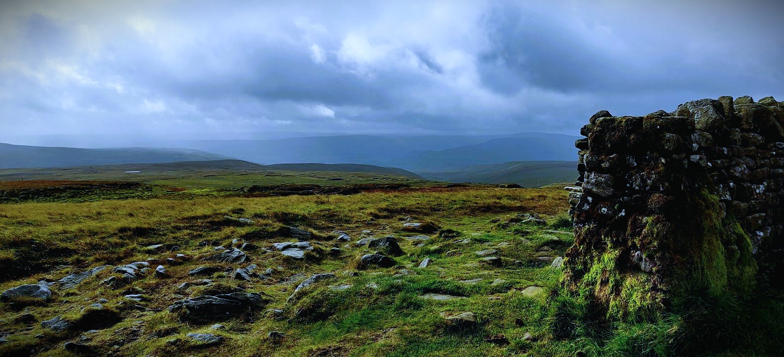
A rough old round through the quieter northern Dales, linking Great Shunner Fell, Hugh Seat, Gregory Chapel, High Seat and Wild Boar Fell, with Tarn Hill and Swarth Fell thrown in too.
It starts steadily enough towards Great Shunner Fell, but once you leave the better-known paths the ground gets slower and the lines vaguer. Expect peat, tussocks and open fell, with long sections where you’re reading the ground rather than following an obvious trail.
From Hugh Seat through Gregory Chapel and High Seat, this is proper rough-running country. If you’re comfortable off path and confident with navigation, it’s a cracking bit of Dales running.
There’s a steep drop from High Seat into Mallerstang before the route crosses the valley and climbs back onto Wild Boar Fell, then returns over Swarth Fell.
At just over 24 miles it doesn’t look huge on paper, but nearly 4,800 ft of climbing and slow ground make it a proper mountain day. The real appeal is getting away from the busier Dales routes and heading into big, quiet fell country where finding your own line is part of the adventure.
The Five Peaks Challenge appeared in 2020 as a tougher, quieter alternative to the Yorkshire Three Peaks. It links five major Dales summits, with Tarn Hill and Swarth Fell added to complete the round, and was later submitted to Fastest Known Time where an active leaderboard is still maintained.
The traditional start and finish is at the Moorcock at Garsdale Head, a remote old inn site at the head of the dale.
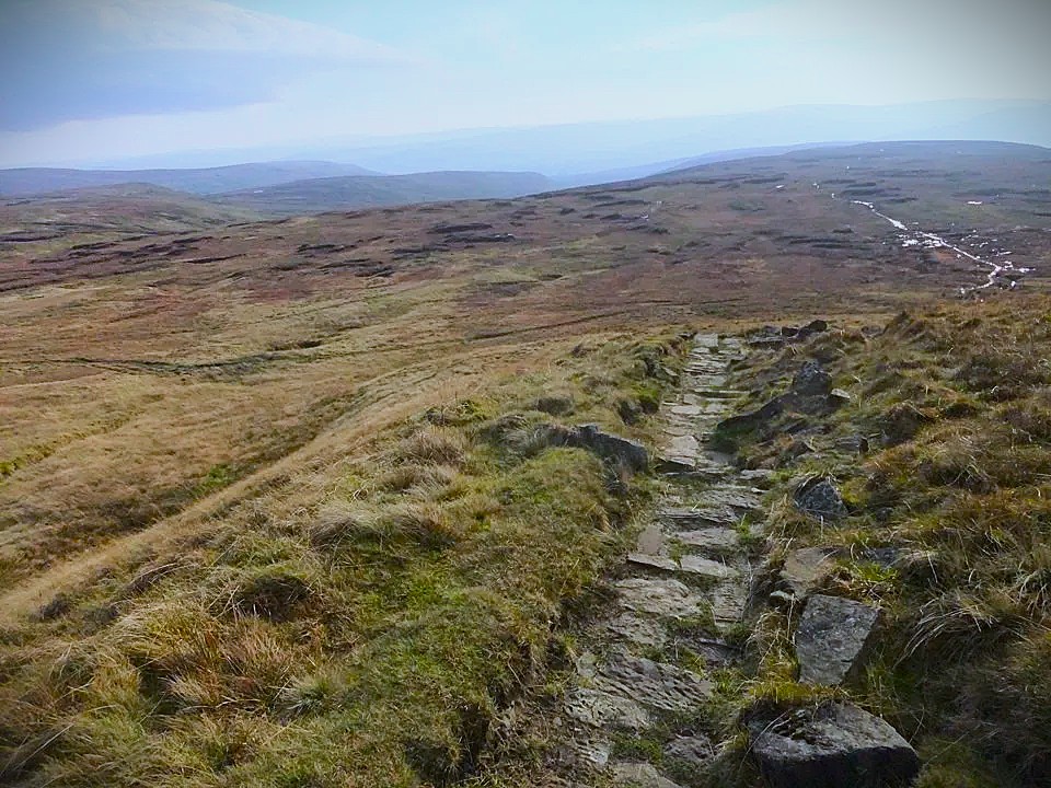
Yorkshire Round
Often described as Yorkshire’s answer to the Bob Graham, the Yorkshire Round links 20 summits over 2,000 ft across a huge sweep of the Dales. The traditional challenge is to complete the full round inside 24 hours, taking in everything from the Three Peaks to Great Shunner Fell, Buckden Pike, Great Whernside and a lot of properly rough country in between.
But this isn’t a fixed route. You can start anywhere on the circuit, go either way, and decide for yourself how you’re going to link the twenty required summits. Depending on your lines, you could end up somewhere around 80 to 100 miles. Our rough example comes out at about 90.
Unlike the Bob Graham, this isn’t a round where hundreds of runners have spent decades refining the fastest lines and best trods between the tops. More than 30 years on, some of the best lines may still be out there waiting to be discovered. The shortest line on the map might be horrible underfoot; a slightly longer path might be much quicker. Open fell or track, distance or climbing, runnable ground or peat hags and bog. The planning is a proper part of the challenge.
The round was devised by Tony Wimbush using the newer Nuttalls summit lists and first completed by Wimbush and Colin Brooke in 1994 in 23 hours 23 minutes. Horton-in-Ribblesdale was the traditional starting point, although the circuit can be started anywhere and completed in either direction. More than thirty years later it remains wonderfully old-school and slightly obscure. One recent finisher, only the ninth recorded completion at the time, called it the “Fellsman on steroids.” That feels about right.
The GPX below is deliberately a very rough example, not an official route or an attempt at the perfect line. It’s simply one way the twenty summits might be joined. Pull it apart, recce sections and find your own way through. It’s a thinking runner’s round. The legs matter, but so does your reading of the map.
The original account of the first Yorkshire Round, written by Colin Brooke and Tony Wimbush, appeared in The Fellrunner in February 1995. See page 14 for the story behind the round and that first 23:23 completion.
Tod Graham Round
A short distance on paper, but absolutely packed with climbing. The Tod Graham Round links a series of checkpoints across the steep moors surrounding Todmorden.
Rather than following one fixed trail, part of the challenge is choosing your own lines between the checkpoints. Expect steep climbs, rough Pennine ground, reservoirs, gritstone and plenty of route-finding.
It’s the sort of round where 18 miles can feel considerably bigger than the number suggests.
Created in the spirit of the classic British fell-running rounds, but squeezed into the compact and brutally hilly landscape around Todmorden.
Yorkshire 2000s
A huge old-school challenge to link every 2,000 ft summit lying on or within the county boundary of North Yorkshire in one outing. It is big, rough and slightly mad in exactly the right sort of way.
The route takes in 26 summits across a vast sweep of Yorkshire fell country. Some are well known, some are much less talked about, and joining them all together means a very long day, or more likely a very long couple of days, through a lot of hard ground. Expect bog, rough moorland, long ridge running and plenty of mileage between the obvious headline tops.
There is something brilliantly simple about it on paper. Just visit every Yorkshire 2,000-footer in one go. In reality, though, it turns into a proper test of judgement, pacing, navigation and resilience. This is not a polished modern challenge with flags and checkpoints. It is a proper fell runner’s outing.
The route was devised by Peter Barker using George Bridge’s 1973 tables of Yorkshire’s 2,000 ft summits. Tony Wimbush and Colin Brooke completed the first round in atrocious weather in 1982, taking 45 hours 27 minutes. Pete Simpson later cut the record to 29 hours 11 minutes, and the challenge went on to inspire the later Yorkshire Round, a shorter 20-summit version designed to be completed inside 24 hours.
This is an informal challenge with no registration and no fixed time limit. It remains one of the great obscure Yorkshire fell-running tests. If you like long rough days, old-school mountain challenges and the idea of following in the footsteps of a small handful of hard Yorkshire runners, this one should be right up your street.
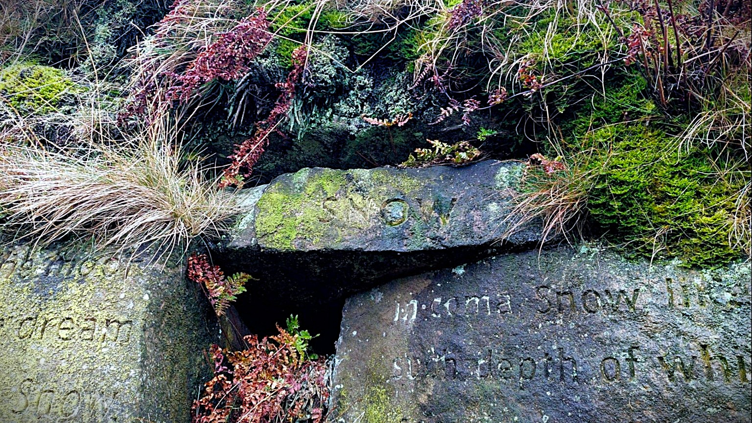
Stanza Stones Trail
A brilliant point-to-point journey across the South Pennines from Marsden to Ilkley, linking six poems by Yorkshire poet Simon Armitage that have been carved directly into stones out on the moors.
The route crosses some properly atmospheric Pennine country, moving between wild open moorland, gritstone tracks, wooded valleys and old paths as it works its way through Hebden Bridge, Oxenhope and Bingley before eventually crossing Ilkley Moor. Along the way you hunt down the six Stanza Stones: Snow, Rain, Mist, Dew, Puddle and Beck.
There’s something different about having the stones pulling you through the landscape. They aren’t monuments lined up neatly beside a tourist trail either. Some sit properly out in the moors, with the words, weather and landscape all becoming part of the route.
A few of us from UTC ran this one over two days, stopping overnight in Hebden Bridge before carrying on to Ilkley the following morning. It made for a brilliant little fastpacking trip: a big first day across the moors, an evening in Hebden, then back out into the Pennines the next morning. Definitely one that works just as well split over a weekend as it does tackled in one big push.
The Stanza Stones project brought together Simon Armitage, Ilkley Literature Festival and stone artist Pip Hall, with six poems inspired by water and the Pennine landscape carved into stones between Armitage’s home town of Marsden and Ilkley. If you fancy racing the journey, CraggRunner also puts on the Stanza Stones 50 Mile Ultra, visiting all six stones on a 50-mile Marsden-to-Ilkley route with more than 6,800 ft of climbing.
Calderdale Way
A full circuit of Calderdale through classic South Pennine country, taking in high moorland, gritstone villages, wooded valleys, reservoirs and centuries-old tracks.
The route circles the hills around Halifax, Hebden Bridge and Todmorden, with plenty of climbing as it repeatedly drops into the valleys before heading back onto the surrounding high ground.
Expect packhorse trails, stone causeways, open moor and some properly atmospheric Pennine running. At roughly 50 miles, it makes a substantial ultra-distance challenge in its own right.
The Calderdale Way was created as a circuit of the borough, linking many of the old settlements, paths and landscapes that define this corner of the South Pennines.
Lyke Wake Walk
One of Yorkshire’s great old challenge routes. The Lyke Wake Walk crosses the North York Moors from Osmotherley to Ravenscar, heading from the western edge of the moors almost all the way to the North Sea.
It’s a proper moorland crossing, with peat, rough tracks, exposed high ground and long stretches of open country. The traditional challenge is to complete the crossing within 24 hours.
Created by Bill Cowley in 1955, the route takes its name from the old Lyke Wake Dirge. Appropriately enough, the traditional emblem of the challenge is a coffin.
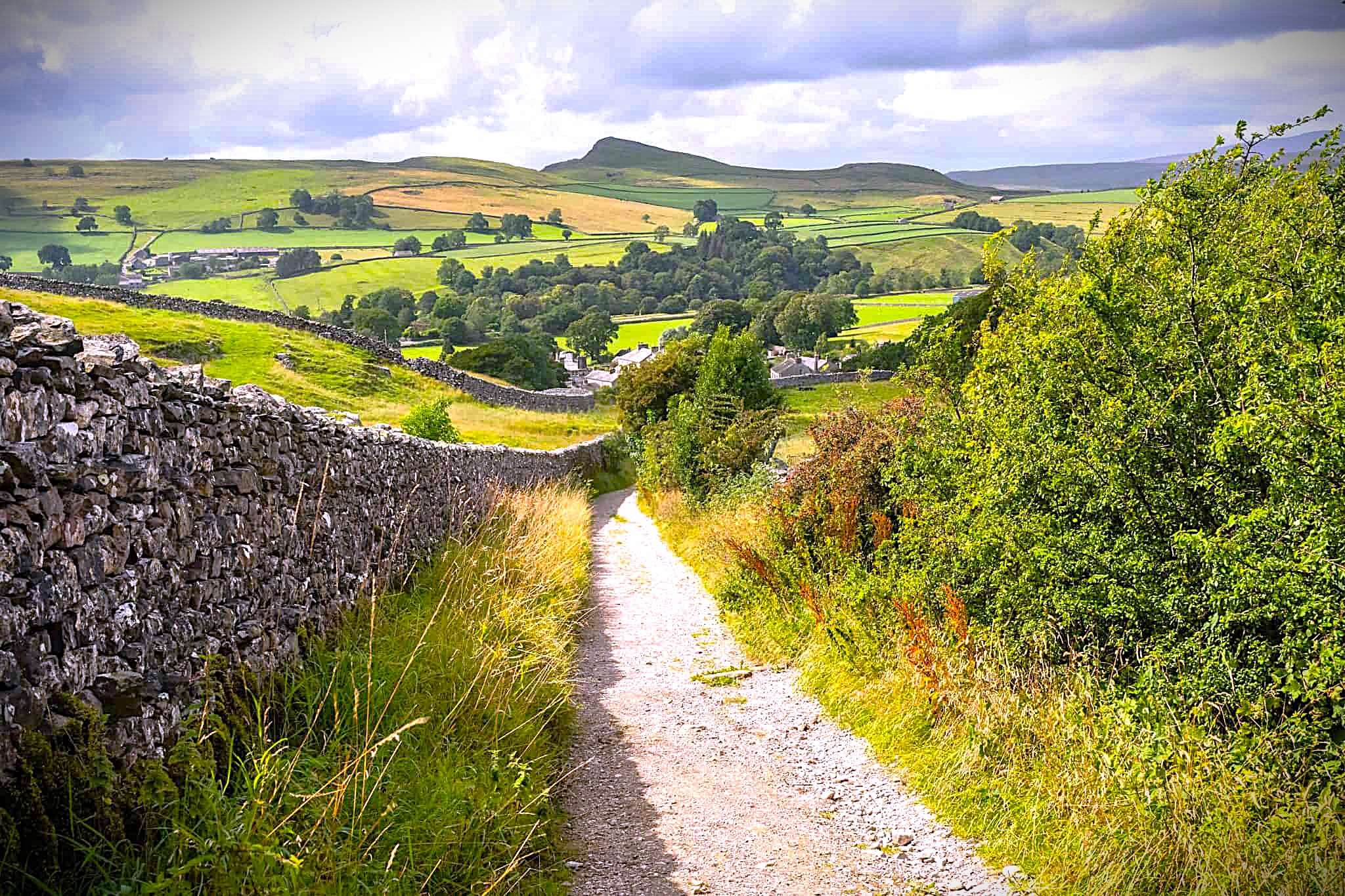
The Inn Way to the Yorkshire Dales
A huge circular journey through the heart of the Yorkshire Dales, starting and finishing in Grassington and linking some of the best-known valleys and villages in the National Park.
The route passes through Buckden, Askrigg, Reeth, West Burton and Kettlewell, mixing riverside trails, green valleys, old tracks, open moorland and some proper Dales climbing along the way.
This one really comes into its own as a multi-day fastpack. The route was designed around traditional Dales inns and village stops, with accommodation options along the way, so you can keep the days short, stretch them out or shape the whole trip around the time you have.
The Inn Way to the Yorkshire Dales was created by Mark Reid and first published in 1997. The full route covers six traditional stages and links 26 pubs, making it one of the best village-to-village long-distance adventures in the Dales.
Yorkshire Wolds Way
A completely different side of Yorkshire. Starting beside the Humber at Hessle, the Yorkshire Wolds Way heads north through rolling chalk country before eventually reaching the North Sea at Filey.
Instead of mountains and peat, this is huge skies, dry chalk valleys, woodland, quiet villages and miles of rolling trail through the Wolds.
At 79 miles it makes a brilliant long running or fastpacking journey and adds something completely different to the Dales, Pennines and North York Moors routes in the collection.
The Yorkshire Wolds Way is one of England’s official National Trails, running all the way from the Humber Estuary to Filey Brigg on the Yorkshire coast.
Herriot Way
A 52-mile circuit through Wensleydale and Swaledale, linking some of the classic scenery and villages of the northern Yorkshire Dales.
Starting around Aysgarth, the route passes through Hawes, Keld and Reeth on a mixture of valley trails, old tracks, high open fell and heather-covered moorland.
There’s loads packed into the journey too, from Aysgarth Falls and Great Shunner Fell to old lead-mining landscapes and some of the best-known villages in the Dales.
The route takes its name from James Herriot, the pen name of Yorkshire vet Alf Wight. It was inspired by a walking trip Wight made through this part of the Dales with his son.
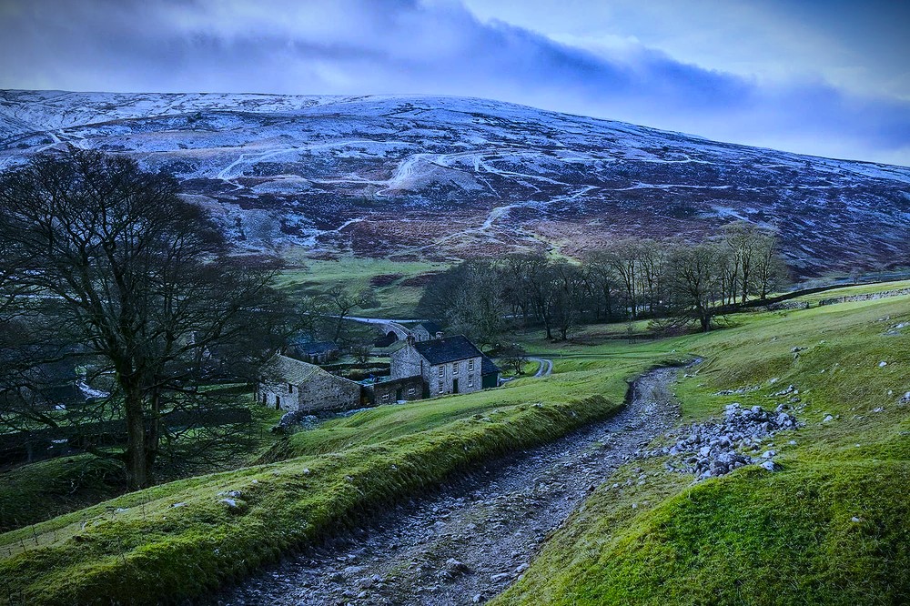
The Full Ulfkil
Channel your inner Yorkshire Norseman. Or Norsewoman. From Buckden the Full Ulfkil heads deep into Upper Wharfedale, past Yockenthwaite, whose name reaches back to Viking settlement, before climbing the old priest’s route over Horse Head Pass towards Halton Gill and Foxup.
From there it gets properly serious, with Pen-y-ghent, rough fell, big Dales views and a final sting over Birks Fell before dropping back to Buckden. Thirty-three miles and more than 6,000 ft of climbing makes this a proper old-school Yorkshire challenge.
The running is classic Dales stuff. Old lanes and bridleways through the valley, drystone walls and farm country, limestone tracks, steep climbs and rough open fell. Get a clear day and there are huge views across Wharfedale, Littondale and the surrounding tops. Get Yorkshire weather and it can feel bleak, exposed and properly wild.
There’s nothing polished about this one. Tiny settlements, old tracks, peat, limestone, farms and a lot of hard-earned climbing through some of the best country in the Dales. Exactly the sort of route that feels like it has been there forever.
The route takes its name from Ulfkil Cross at Dale Head, an old boundary marker mentioned in a 1206 charter connected with Fountains Abbey. The original walking challenge, the LDWA Ulfkil Stride, was first organised in 1979 from the back of a van in Buckden car park. No fuss, just a big day in the hills.
Peatlands Way
About as far from a Dales fell day as you can get, but that’s exactly why we like it. Fifty mostly flat miles through the huge skies, wetlands and peat country around Thorne, Crowle and Hatfield Moors.
There are no mountains to hide behind here. Just long tracks, waterways, old peat workings, boggy ground and mile after mile of open lowland landscape. On the right day it can feel properly bleak and surprisingly wild.
This is one for keeping the legs turning and seeing a very different side of Yorkshire. Muddy feet, big horizons and a seriously long day out without needing to climb half the county.
The Humberhead Peatlands contain some of Britain’s most important surviving lowland raised bog. Much of the landscape was historically cut for peat and is now being restored and re-wetted for wildlife.
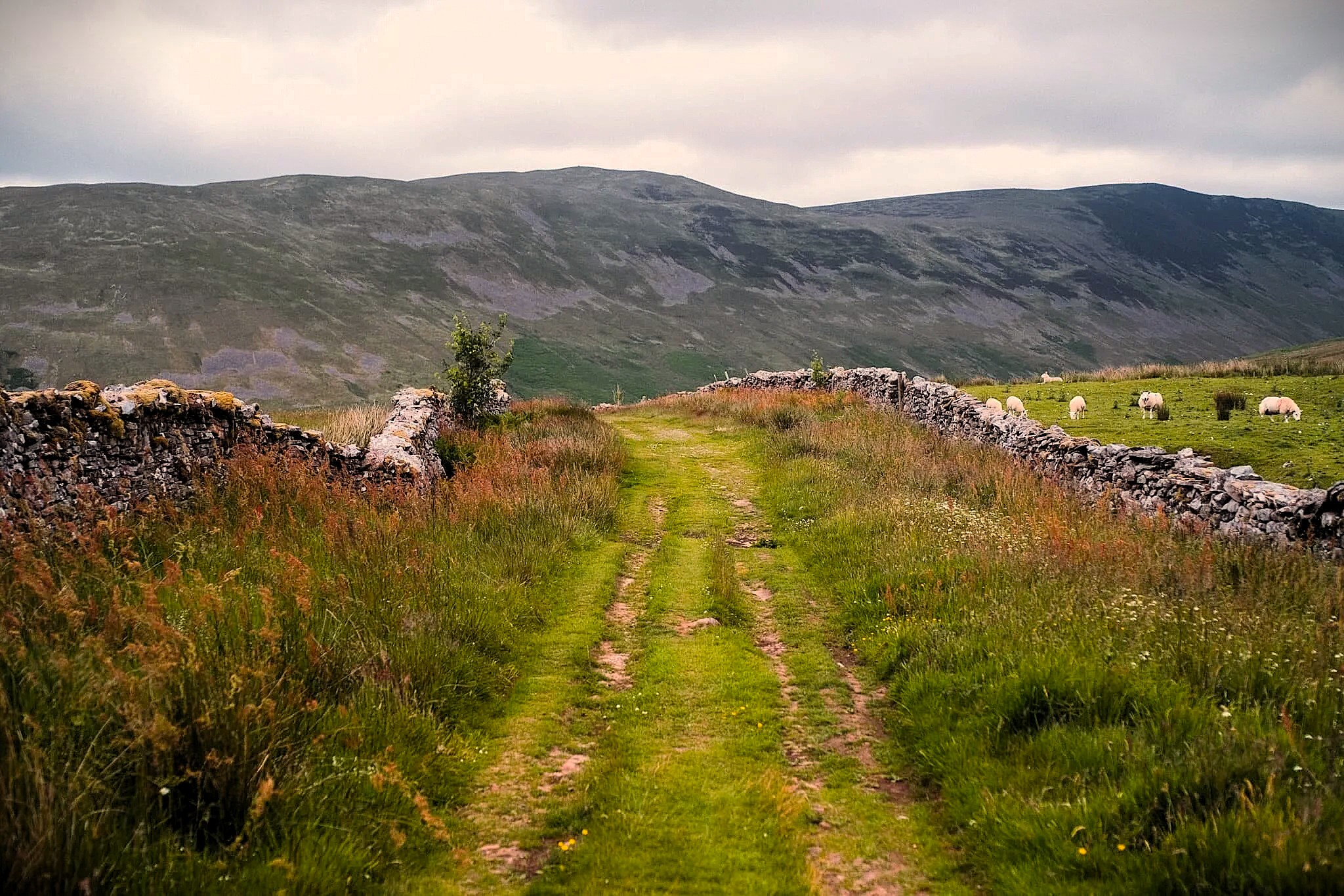
Whernside 3 Dales
Starting beneath Ribblehead Viaduct, this one gets Whernside out of the way early. Yorkshire’s highest point can be a busy place on a good day, with Three Peaks walkers coming and going across the summit. Drop away from all that though and the character of the route changes completely.
The route heads out into Deepdale, Dentdale and Barbondale, where things get much quieter. Rough fell, grassy trods, old tracks and steep valley sides replace the well-worn Three Peaks lines, and there are long stretches where you may barely see another person.
Then the real work starts. Calf Top and Castle Knott pull you out onto the western fells before the route gives away plenty of that hard-earned height and sends you climbing again towards Crag Hill and Great Coum. There is very little free mileage here. Big climbs keep coming, the ground stays honest and by this point the 6,852 ft of ascent starts to make perfect sense.
From Great Coum the route eventually turns back towards Whernside, but there is still one last proper climb to deal with. You hit Yorkshire’s highest summit for the second time, from a completely different direction, before finally dropping back towards Ribblehead.
Finish at The Station Inn for a post-run pint, some food and the sort of warm welcome that feels particularly good after 28 hard miles in the hills.
Five peaks, three dales and two climbs of Whernside, neither by the conventional Three Peaks route. This is a tough route. Be comfortable choosing a line and following the faintest of trods. The further you get from Ribblehead, the quieter and wilder it becomes.
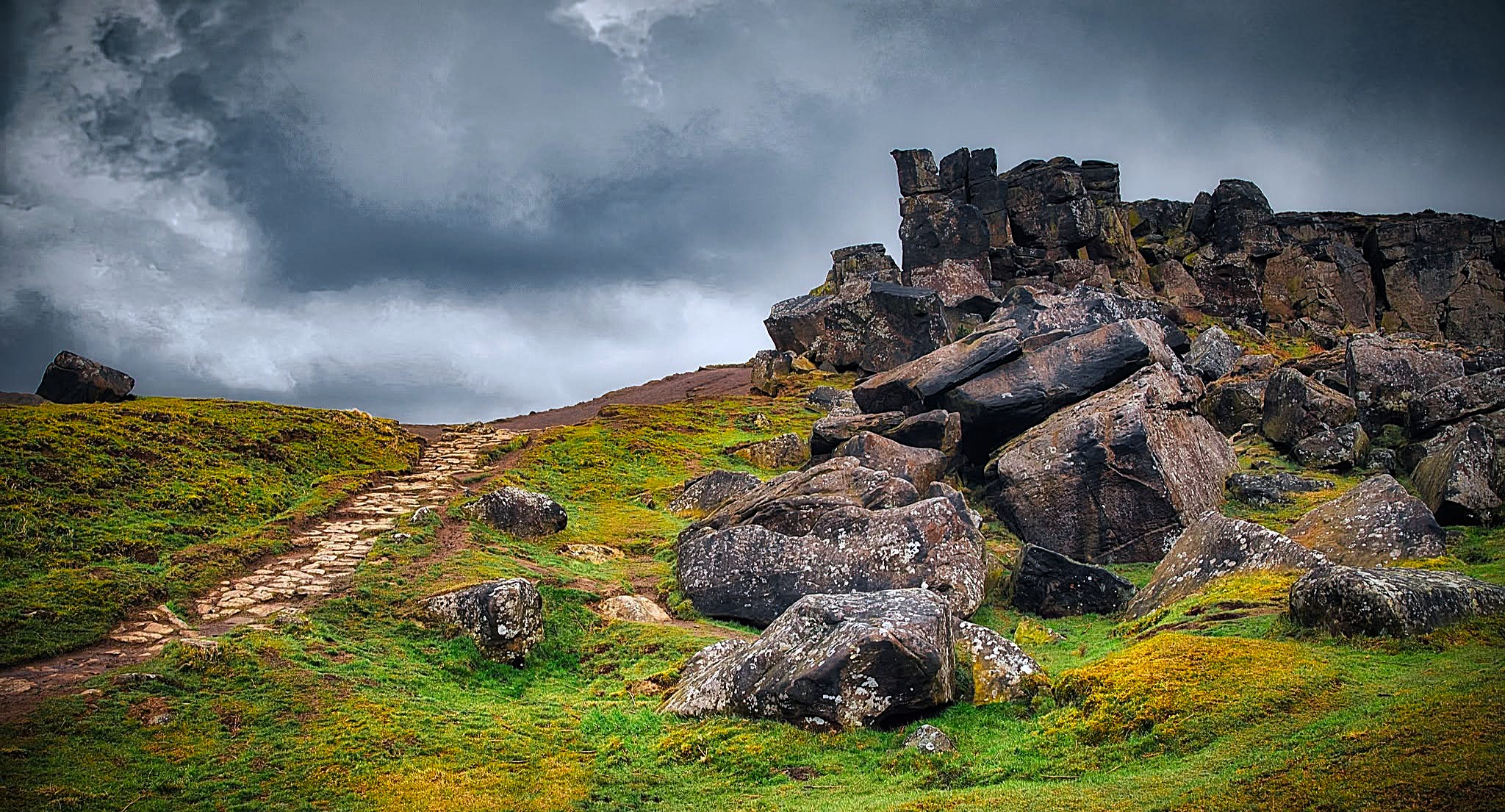
Wainstones & Cleveland Hills
A proper gritty Yorkshire day out from Chop Gate, heading straight into the Cleveland Hills and out across some of the best high ground on the western edge of the North York Moors. This one feels big all day. Steep climbs, plenty of elevation, proper runnable stretches, rougher moorland sections and huge views out from the edge of the moors across the flatter country below.
The Wainstones are the obvious centrepiece, but the wider appeal is the full journey through this corner of the hills. Ridges, open moor, old trods, Cleveland Way sections and that brilliant mix of tough running and big reward views that makes Yorkshire routes so good. It is down-to-earth, hard-earned and absolutely cracking from start to finish.
This is our own tweaked UTC version for an anytime outing, shaped from a route we think makes for a belting day in the hills. Finish back in Chop Gate and you have The Buck Inn there waiting, which feels about right after a route like this.
Big shout out to Hardmoors, one of the best-loved race organisers in the region, putting on some proper big-mileage events across Yorkshire and the North York Moors. This route takes inspiration from their excellent Wainstones race, so if you fancy pinning a number on and supporting a great local organiser, go and check out the official event too.
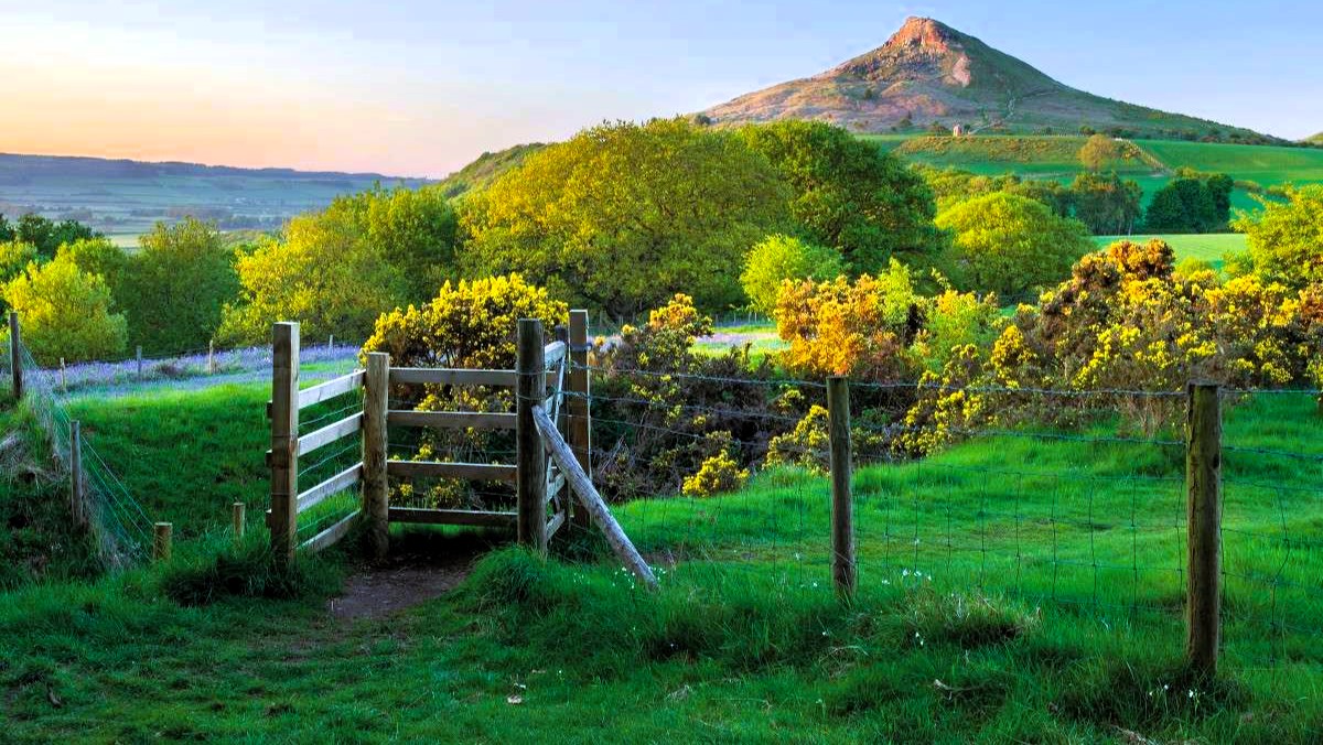
Let’s Run Round
Starting and finishing outside Let’s Run in Great Ayton, this is a proper 29-mile tour of the Cleveland Hills and the western edge of the North York Moors. Steep pulls, rocky trail, woodland, open moor and long runnable sections keep changing the feel of the day, with big views opening up across the Cleveland plain as you gain height.
Roseberry Topping comes early before the route heads past Captain Cook’s Monument, through Kildale and eventually towards the Wainstones. There is plenty of climbing, but this is not just a summit-ticking exercise. The appeal is linking the whole landscape together on foot and watching it change around you as the miles build.
There is a bit of history under your feet too. James Cook grew up in Great Ayton and went to school here, while Roseberry Topping’s distinctive shape is tied to the old ironstone workings beneath the hill and a major landslip in 1912. It gives the route that extra bit of character beyond simply following a GPX around some nice hills.
LOCAL SHOUT OUT: Let’s Run is an independent Great Ayton running shop with deep roots in the local trail and ultra scene. Complete the round, get your GPX ratified by the shop and you can earn the official Let’s Run Round badge. If you are making a day of it, call in before or after and support a proper local running shop.
Haworth Skyline
Twenty-odd miles of proper South Pennine moorland starting and finishing on Haworth Main Street. Gritstone tracks, reservoirs, open moor and plenty of rough Yorkshire running before dropping back into town.
The route links Top Withens, the Stanza Stones, Ponden Kirk, Alcomden Stones and the high ground around Keighley Moor, with big views and that slightly bleak Brontë-country feel running through the whole thing.
It’s not enormous by ultra standards, but nearly 3,000 ft of climbing and plenty of moorland underfoot make it a cracking half-day or steady social outing. Then you finish in Haworth with cafés, pubs and food basically on the line.
Pavé created the challenge and keeps track of the fastest recorded times. Finish back on Main Street and you’re already in the right place for coffee, food or something stronger.